A selection of Long-tailed finches from The Doc’s trip to Mornington Sanctuary, The Kimberley in 2015.

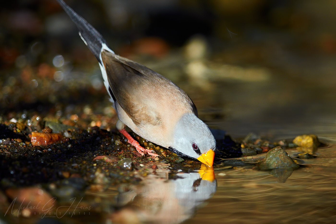

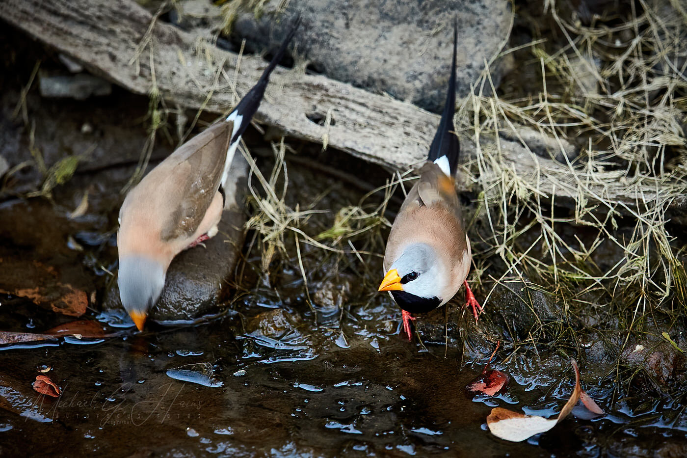


A selection of Long-tailed finches from The Doc’s trip to Mornington Sanctuary, The Kimberley in 2015.
Map of the recent birding trip.


In 2014 Tony and I travelled around outback NSW, Queensland and South Australia. Places like the Warrumbungles, Broken Hill, Marree, the ochre pits at Lyndhurst, ruins at Farina, Arkaroola Wildness Sanctuary, Innamincka, Brachina Gorge in the Flinders Ranges, Epsilon in outback Queensland, Cameron’s Corner, Tibooburra, Menindee Lakes and lots of others.
Characters like Talc Alf, roadtrains and huge coal carrying locomotives, the odd emu and even some water in this parched part of Australia.
Tony had a long chat with Talc Alf and enjoyed his stories (Alf was also the Outback postmen, talc carver, talc miner and general dogs’ body!).
Here is a map of the trip. The kink over Lake Frome near Arkaroola in SA was a plane flight we both took around Arkaroola. Doug Sprigg was the pilot and he thanked us all for financing his hobby (flying) when we returned. Lake Frome is the whitest salt lake in the world and is used by NASA to make various measurements.

Tony often spoke about the trip. He had photos on his phone he would show to nurses on his many trips to hospital. Tony is in five images below and I have written a little story around each one.
Coffee at the Innamincka Pub in SA
We had a shower at the public shower block – after being so remote for a few days a shower felt amazing.
Tony is drinking coffee before lunch. Then on to juicy steak sandwiches, chips and salad in the dining area. Then cake and ice cream for desert. The food was superb. The Innamincka Pub at the time was owned by the same people who owned the Birdsville Pub, Innamincka had better food IMO.
Tony also retained fond memories of the Innamincka Pub. We talked about it for years after.
Canonba near Nyngan Outback NSW
Tony sitting beside the car near his tent around 6.30am. My bed is in the Patrol.
We had refuelled and resupplied at Nygnan the previous afternoon and drove out to the free camping ground at Canonba. It was on the Canonba Road about 10kms out of the Nygnan township. Close by us in the camping ground was a wandering drover with his dogs (hidden by the Patrol).
Canonba was once an important Outback town when it was a supply depot for Cobb & Co coaches. Once the railway went through Nygnan, Canonba disappeared.
Middle of nowhere
Tony with the trailer gate down boiling the billy for tea. We had camped overnight in the middle of nowhere. The driver was tied. We camped beside the Wool Track between Ivanhoe and Cobar, NSW. It was an access road to the surrounding stations and not a single car drove past the whole time we were there.
Coally Station, Far North West NSW
Tony is leaning on the passenger’s seat setting up his camera. This was at a small ephemeral wetland off the Silver City Highway near Coally Station Homestead.
Earlier we had driven through Cameron’s Corner (fancy hamburgers for lunch that time, yum), then through Stuart National Park in the far north eastern corner of NSW.
Epsilon Station, Outback Qld
The image with Tony standing at the car door looking forward was near Epsilon Station in remote Outback Queensland. We were travelling out of the area on private roads used to service the Moomba Gas Field oil wells. Earlier we saw the white camel also pictured.
The road is called the Nappa Merrie-Santos Road. We were on the Santos end, Nappa Merrie Station (Ranch for any American readers) being at the other end. In remote Australia it is common to name roads after the destinations at each end, it sure helps you know where you are going.
How do I remember these details? First, I add keyword to my images. Second, I keep a travel diary to help indexing. Last, I add GPS co-ordinates to the images. Here I mainly used the GPS co-ordinates and memory.
Due to some medical issues with Tony (bruising mostly) the trip lasted only two weeks instead of the planned three weeks. Due to Tony’s limited mobility I was visiting places where I could drive Tony close to the scenery or eating place. It worked out well. I still remember those delicious BLTs (bacon, lettuce and tomato sandwiches) at the Blenheim Pub, Flinders Ranges. SA.
Click on the first image and a slideshow will appear. Take five minutes to look through the images.
Happy Easter everyone. He is risen!


Some images from The Doc’s New Zealand trip. Well known locations but from some different angles, like Queenstown, the blue lakes at St Bathans, Moeraki Boulders and the Southern Alps. Click on the images to see the sideshow at full size.


The Doc revisited his Cape York images – the 4 Day Helicopter trip around Cape York that is. Bungie was the copter pilot. Enjoy.


Some stitched images from Ballina. The Richmond River Lighthouse, Boulder Beach, Lighthouse Beach and south side of the Richmond River.


Part 2 of the recent Central New South Wales and Queensland trip has been posted. Channel Country and dinosaur fossils are the themes. Link here. Enjoy.


A remote creek and waterfall on the Arnhem Land Plateau. It was very humid that day, so taking a refreshing dip in the creek was great, just not to close to the waterfall behind the photographer. It was a big drop. This a stitched panorama, enjoy.

A report and more pictures here.
The Doc has written as travel and photo guide for the East MacDonnell Ranges using Alice Springs as your starting point. Guide can be viewed here.


A few photos from Lorella Spring Station, from places like Snapping Handbag Billabong, Gateway Gorge and Teardrop Gorge. Photos taken in the dry season. At the end of the wet these places are accessible by helicopter only.


The Gulf has very unusual cloud formations, on occasions, The Doc got a few images of where two airstreams met creating an unusual pattern (with some other textures from Lorella). Click to see full size image.


You must be logged in to post a comment.