Category Archives: clouds

Cape York – Day 4 – Revisited

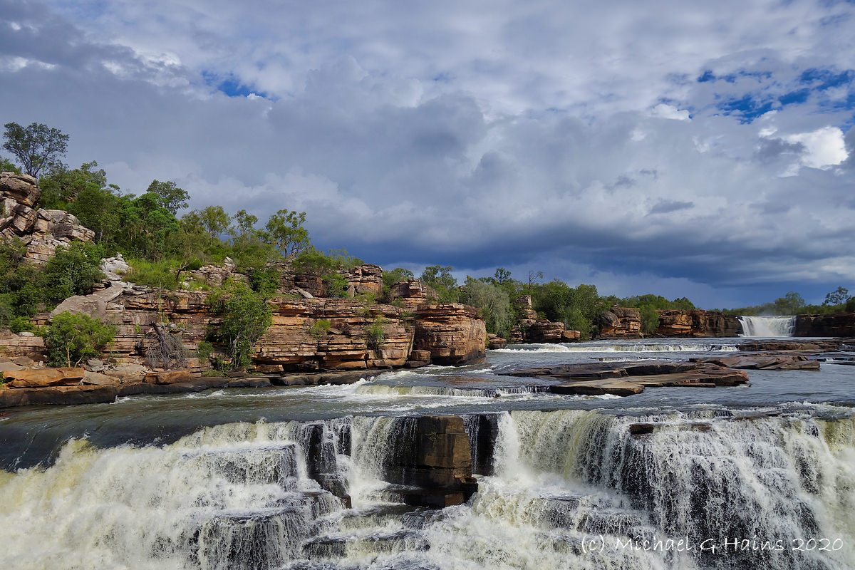
Late lift off on the last day due to rain at Weipa. We were going to land at AWC’s Piccaninny Plains Sanctuary to visit, but the late departure ruled that out.

We fly out of a wet Weipa over Coen, Yarraden and Piccaninny Plains all in the Cook Shire.

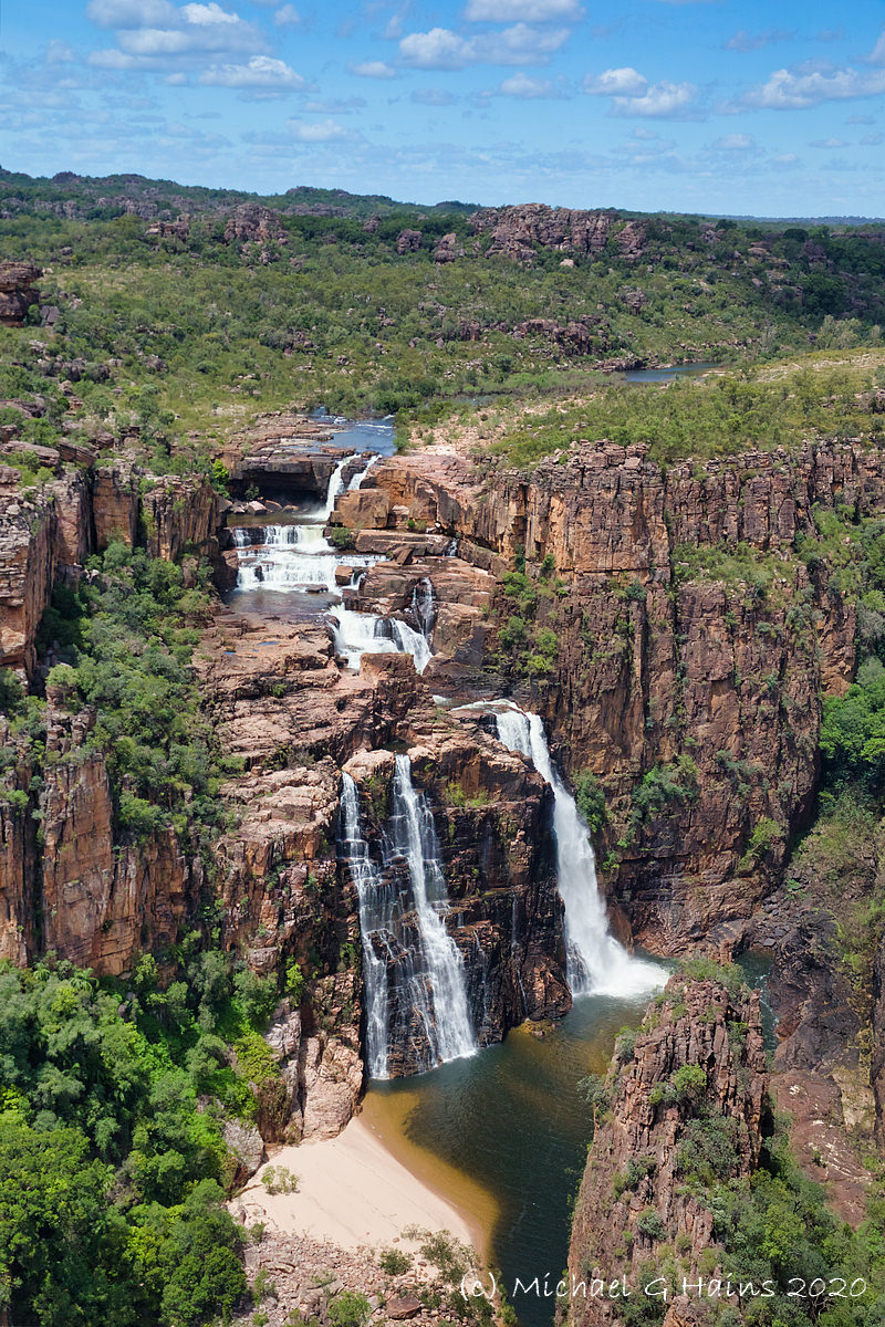
Then Lakefield (a really large area) and the Cape York Developmental Road until we reach Mount Carbine close to AWC’S Brooklyn Sanctuary. We land to refuel at Pennyweight Outstation, located on Brooklyn.

After refueling we headed back over Mareeba, where Bungie the Pilot lives and we fly over his helipad and then back to Port Douglas.

Cape York – Day 2 – Revisited

This morning we leave Haggerstone Island, then see downed aircraft, crocs up and close, Captain Billy Goat Waterfall and finally we land near a WW2 wreck of a P39 Aircobra which crashed on its way to Papua New Guinea.  Flying up the coast we see bauxite deposits, sands, rivers and finally hover over the tip of Australia. Then an aerial trip around the Torres Strait, we did not land as you can wait for hours before customs turn up (they work on Island time). Last stop Punsand Bay Campgrounds to stay.

Day 2 was as stunning as Day 1 – Revisited here.

Click on an image to a slideshow. Enjoy. Viva Cristo Rey.

Morning

Northern Cape York – eastern side

The Tip and Torres Strait

Punsand Bay after sunset

Cape York – Day 1 – Revisited

Leaving from Port Douglas and ending on Haggerstone Island. The original Cape York images and reports are here.

Enjoy. Viva Cristo Rey.

Bullo River Cruise

At the recent AWC Supporter Event at Bullo River Station we had small groups doing guided tours along the Bullo River, with a cold breakfast supplied (fresh fruit, quiche, yogurt, nuts, freshly squeezed OJ and muffins).

A few images are below. Click on an image to see a slideshow at full size. Enjoy the beauty of God’s creation.

The Doc is still writing the longer Bullo report.

West MacDonnell Ranges – The Red Centre

It took some time but The Doc has finished his Guide on the West MacDonnell Ranges. The Guide starts and finishes at Alice Springs in the Northern Territory. The Guide is here.

You can then do the East MacDonnell Ranges, that Guide is here.

The Guide on the West MacDonnell Ranges has detailed maps, location notes and images. The number of images meant The Doc had to use high compression and so there are some artefacts in some images. It is a very detailed Guide. You could easily spend 2 or 3 weeks doing the West MacDonnell Ranges and another week doing the East MacDonnell Ranges.

Cape York revisited

The Doc revisited his Cape York images – the 4 Day Helicopter trip around Cape York that is. Bungie was the copter pilot. Enjoy.

Kakadu & Arnhem Land waterfalls

The Doc had a very good response to the last sets images. So he reviewed more photos from his 4 day helicopter trip around Kakadu and Arnhem Land in the Northern Territory. It has been almost 3 years since that trip but the images bring back wonderful memories.

The theme this time is waterfalls, some famous like Jim Jim Falls and others nameless. All with good water flow after the wet season.

A second instalment on gorges and rivers will follow. Nick, the helicopter pilot, is in one of the images. The next set of images will have the trusty steed, the Robinson R44 helicopter!