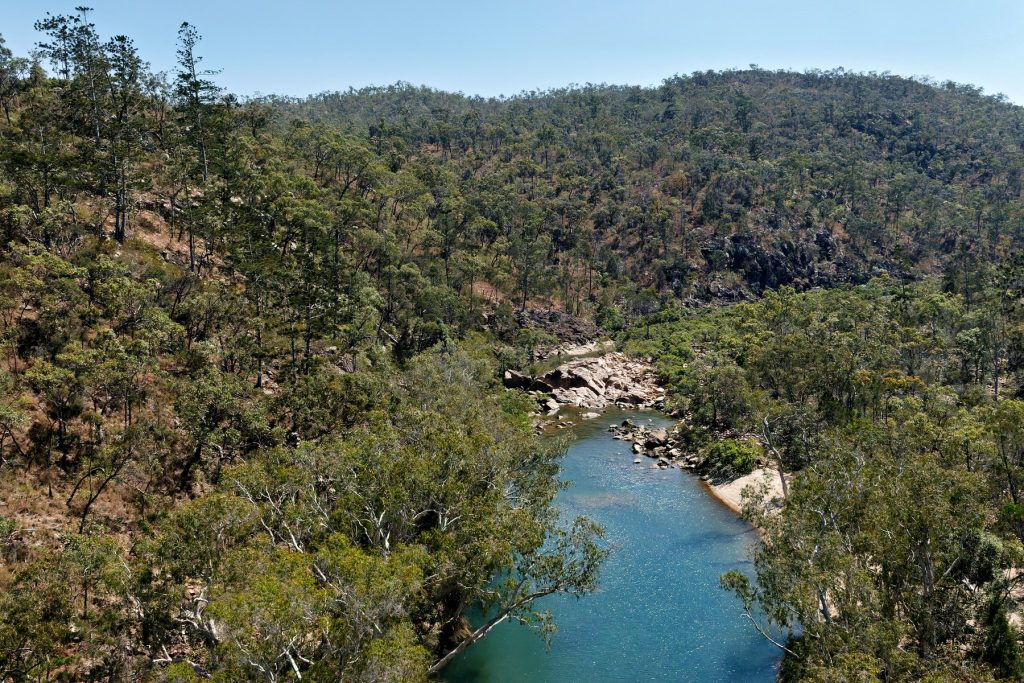
Late lift off on the last day due to rain at Weipa. We were going to land at AWC’s Piccaninny Plains Sanctuary to visit, but the late departure ruled that out.
We fly out of a wet Weipa over Coen, Yarraden and Piccaninny Plains all in the Cook Shire.
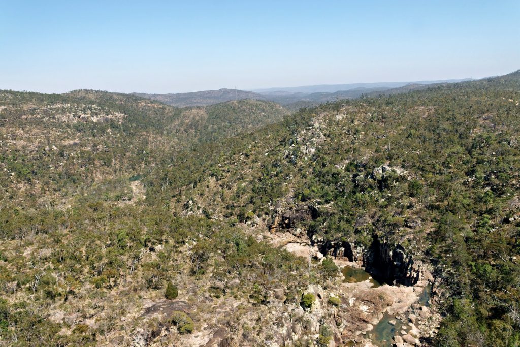
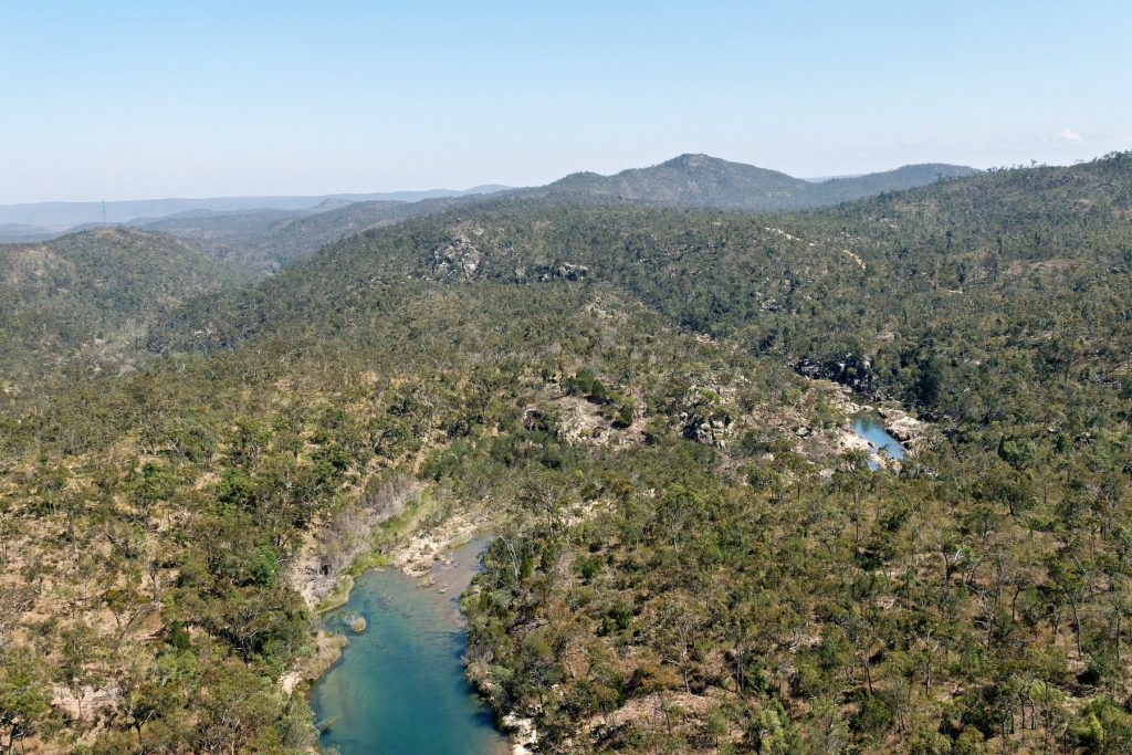
Then Lakefield (a really large area) and the Cape York Developmental Road until we reach Mount Carbine close to AWC’S Brooklyn Sanctuary. We land to refuel at Pennyweight Outstation, located on Brooklyn.
After refueling we headed back over Mareeba, where Bungie the Pilot lives and we fly over his helipad and then back to Port Douglas.
In Part 2 the images are from the surrounding Flinders Ranges, rather than Lake Froome. You get to see the extraordinary variety of rock formations of different colours and textures.
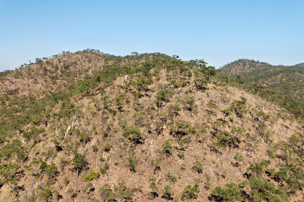
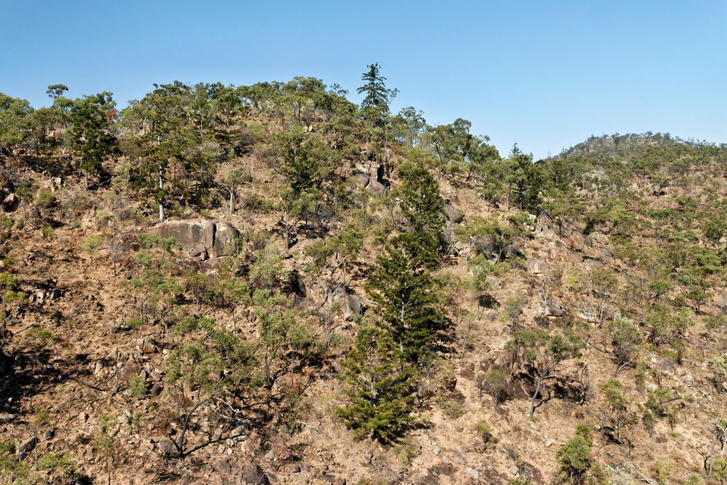
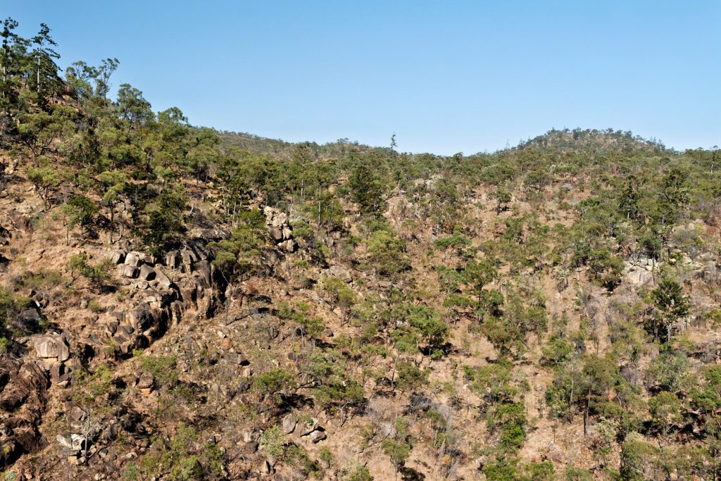
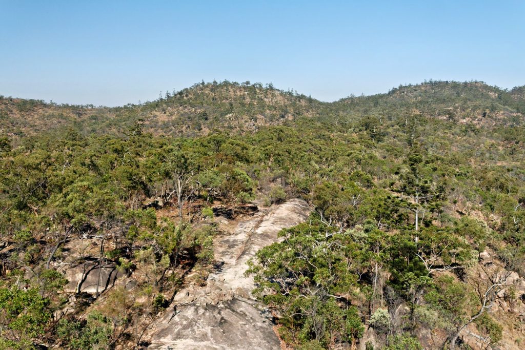
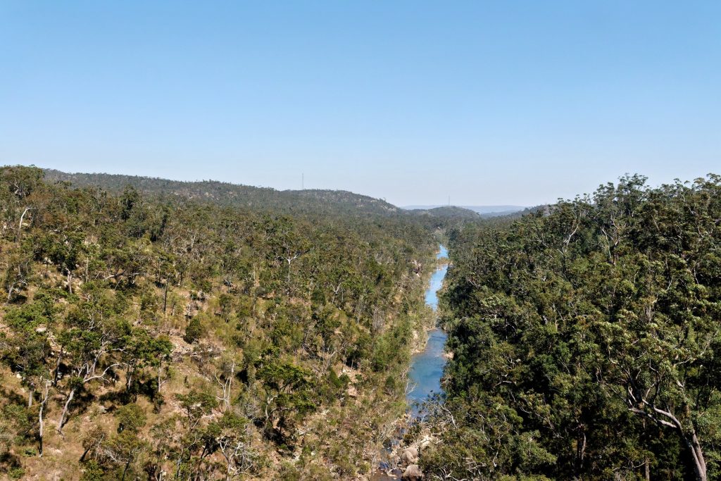
On average the images were taken from 270 to 380 metres in the air. The GPS Datalogger also gives you altitude.
Enjoy, Viva Cristo Rey. Click on an image to see the slideshow of images at full resolution.
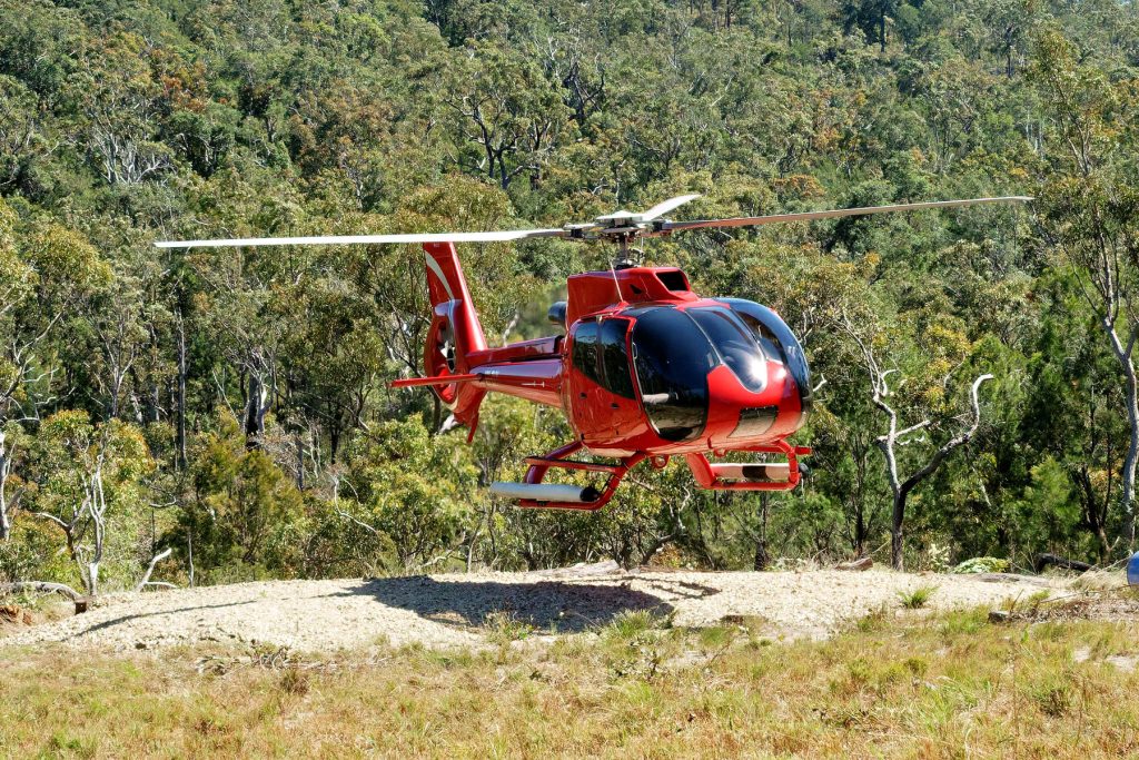
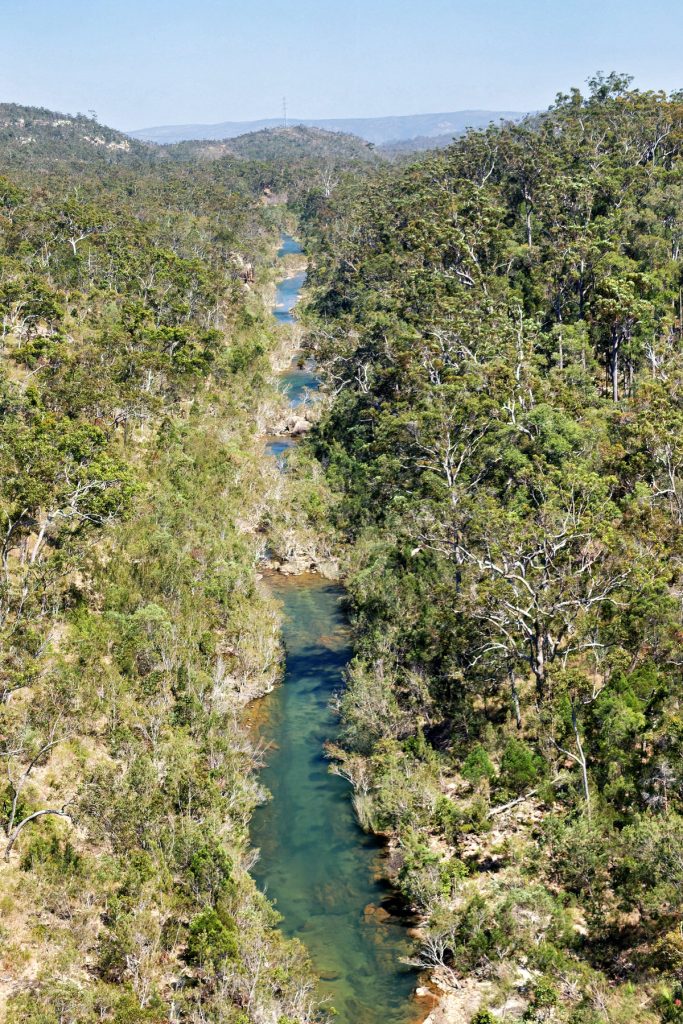
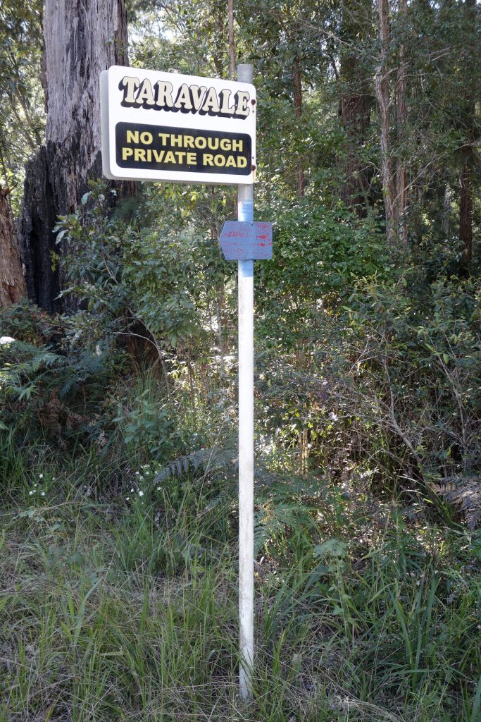
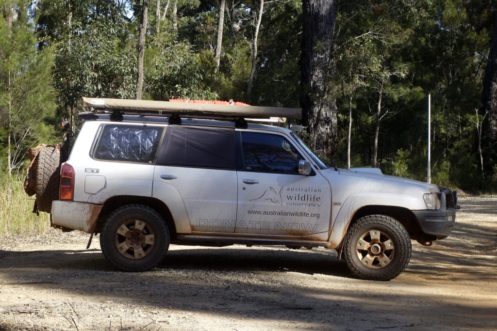
In 2019 The Doc went on an AWC Supporter’s Event to Mt Zero Taravale out of Townville. Supporters arrived in that fancy red helicopter, flown out of Townville Airport, known as Garbutt Airfield in WW2.
He had previously driven up the entrance of the Sanctuary.
The Doc forgot to write up a report, so he only has some pictures. Better late than never. One day he may find the notes from the visit.
The Doc does remember meeting and speaking to AWC legend Peter Stanton at the event and later sending him some AWC slides The Doc had scanned of Peter at MZT, in the very early days of AWC ownership.
Viva Cristo Rey.
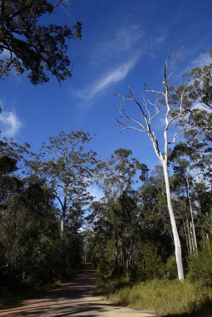
The first visit was to the entrance of the MZT, in a car. The road up was a bit narrow driving the Nissan Patrol and it was a long way down. That road was narrow and had blind corners everywhere.
The road down was not as bad when The Doc left the Supporter’s Event and someone else was driving!
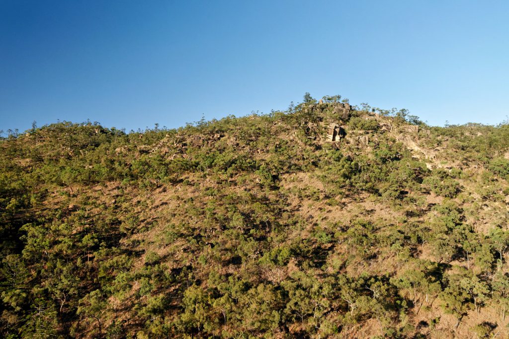
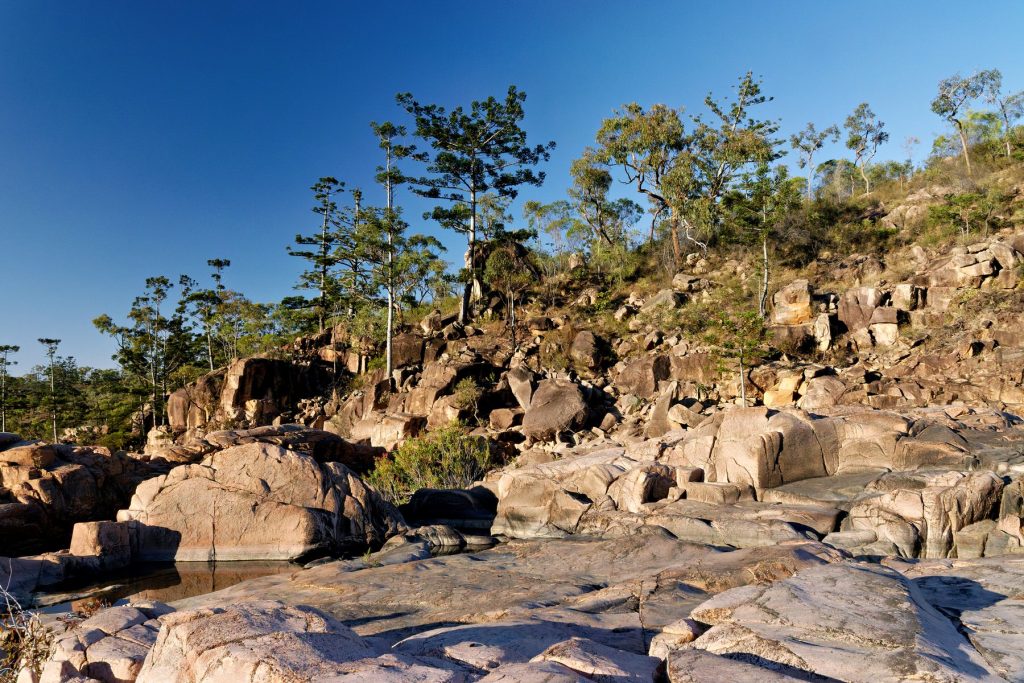
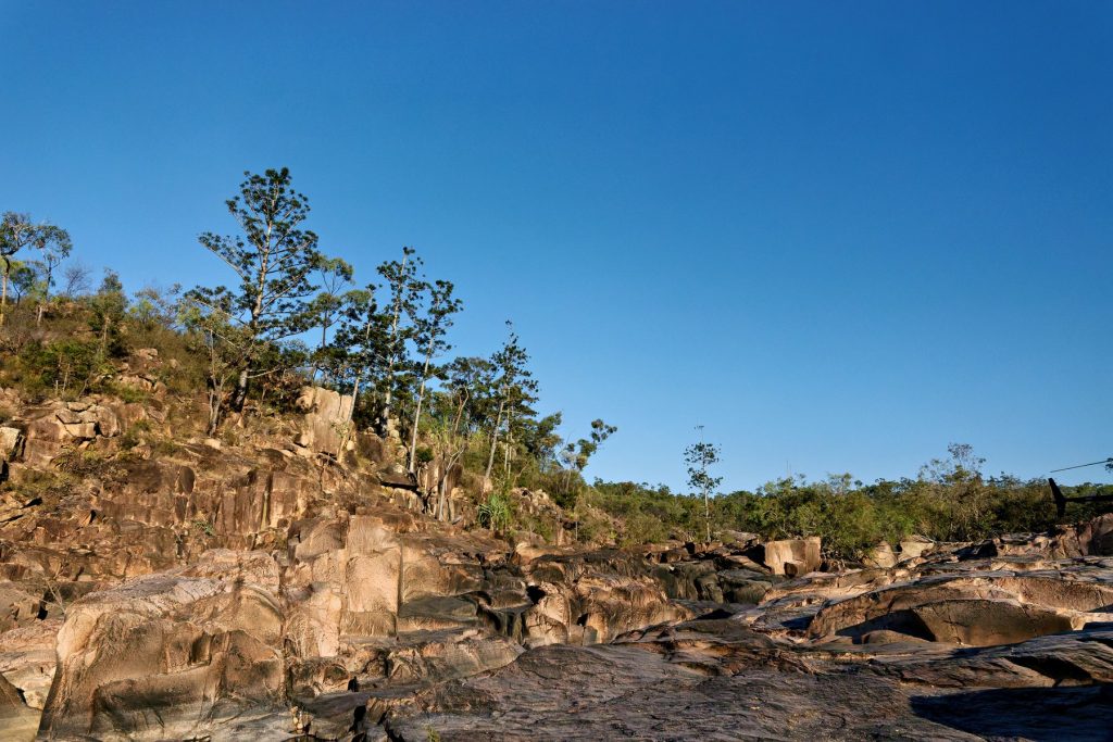
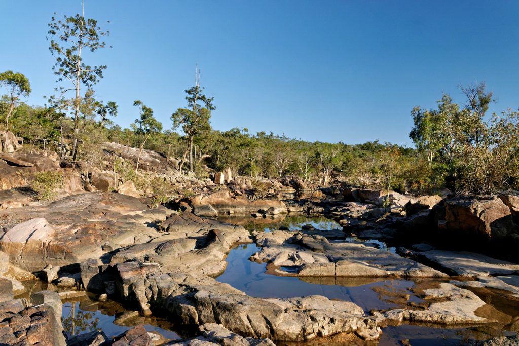
The Doc gets a guided tour of Waulinbakh Wildlife Sanctuary this week, provided the rain holds off. Mate Steve Young wil be looking for myxos in the field. Waulinbakh is privately owned but some conservation efforts are undertaken by AWC.
When The Doc visited Flinders Island in late 2023 for a photography course, the group went on a plane ride. The plane took off from Lady Barron airs strip and flew over Cape Barren Island, Green Dog Island and a few other islands all part of the Furneaux group. The images were taken through Plexiglass, so the images are soft and they had heavy colour casts. The Doc got rid of most of the colour casts with some recent techiques, and has salvaged a few images. Not inspiring images but better than nothing.
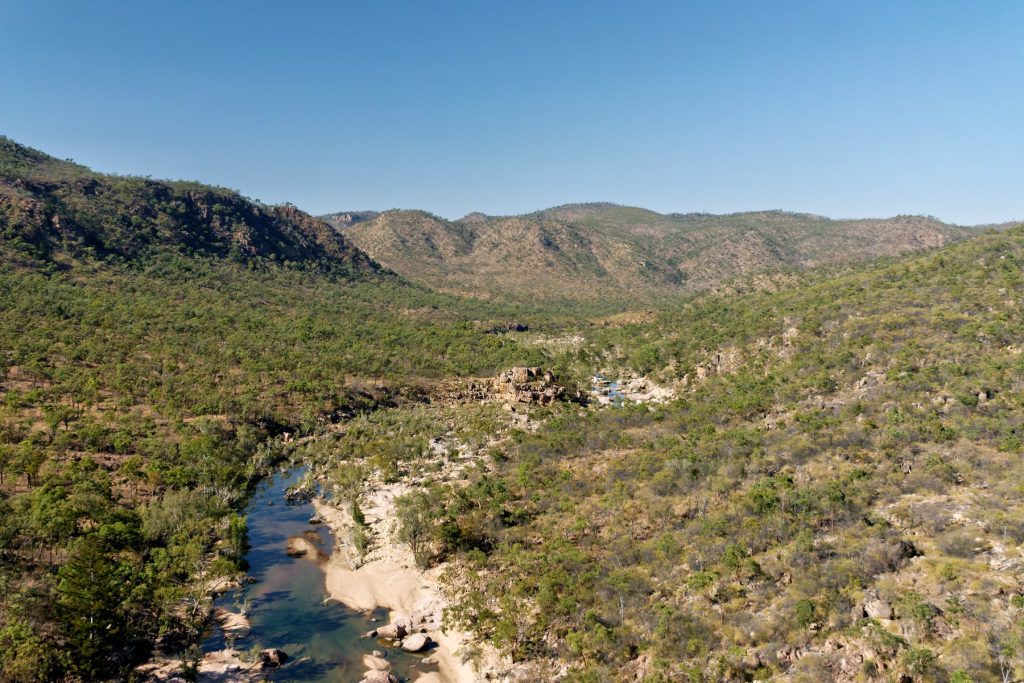
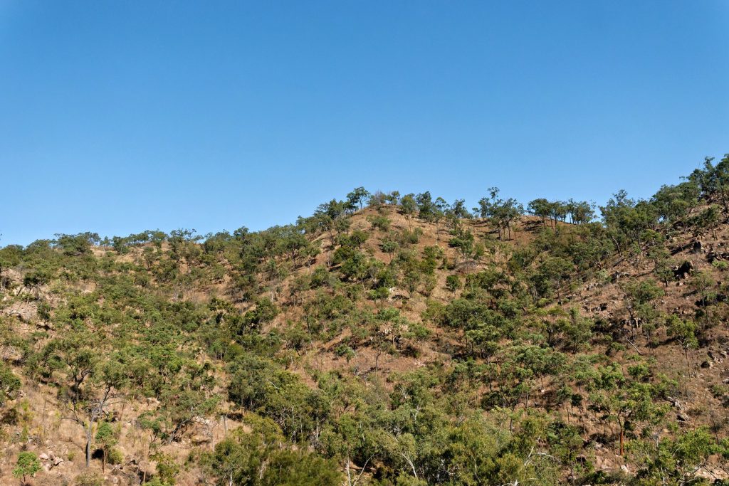
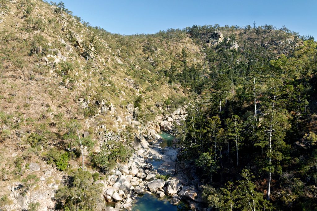
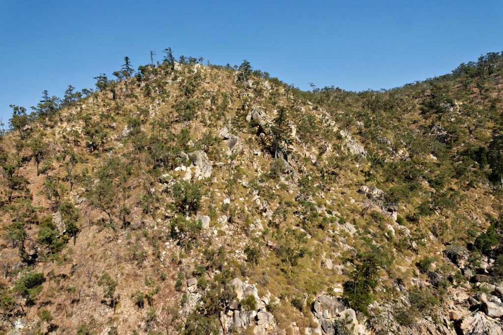
The Doc took two cameras on the helicopter, including a Pentax 645Z Medium format camera. The Pentax gives massive files which The Doc can crop how he wishes. The files have eye watering details, not always appreciated when you can only post small images on a blog.
The Pentax renders very accurate colours, more so than the Canon 1DX which was the other camera used. These images are a very accurate representation on what you see from the helicopter.
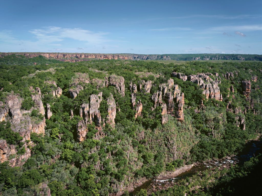
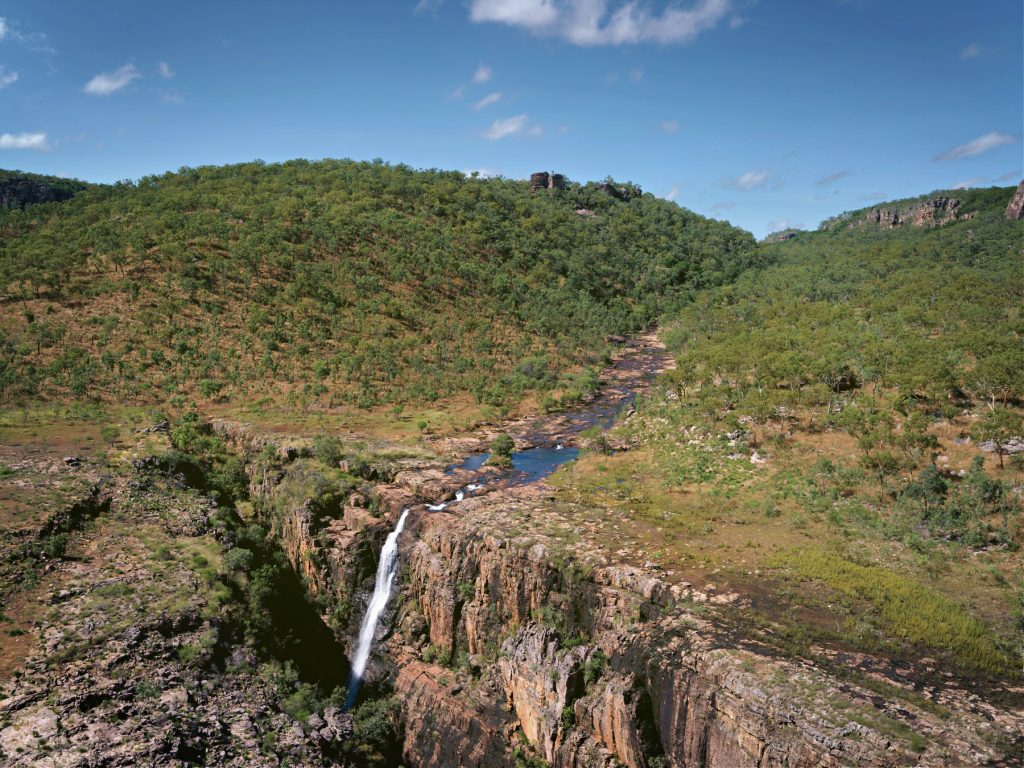
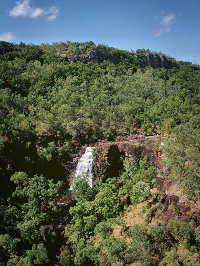
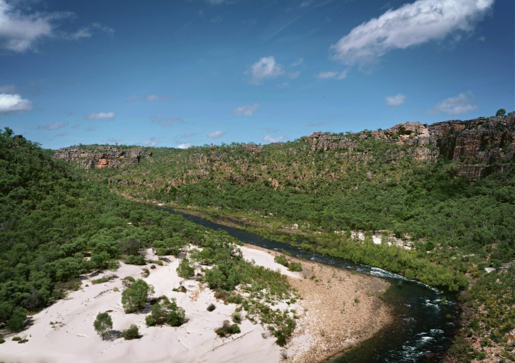
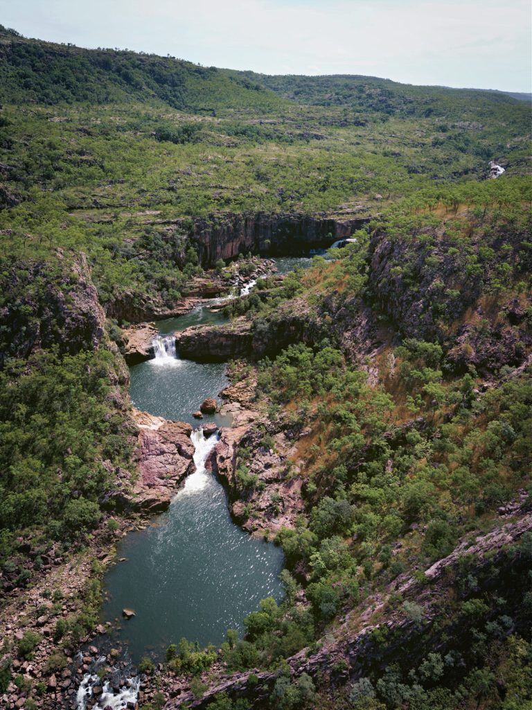
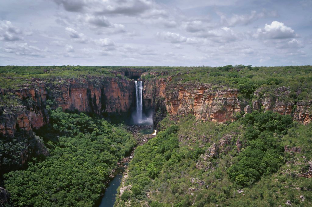
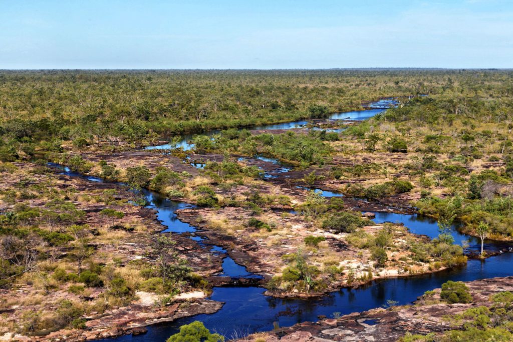
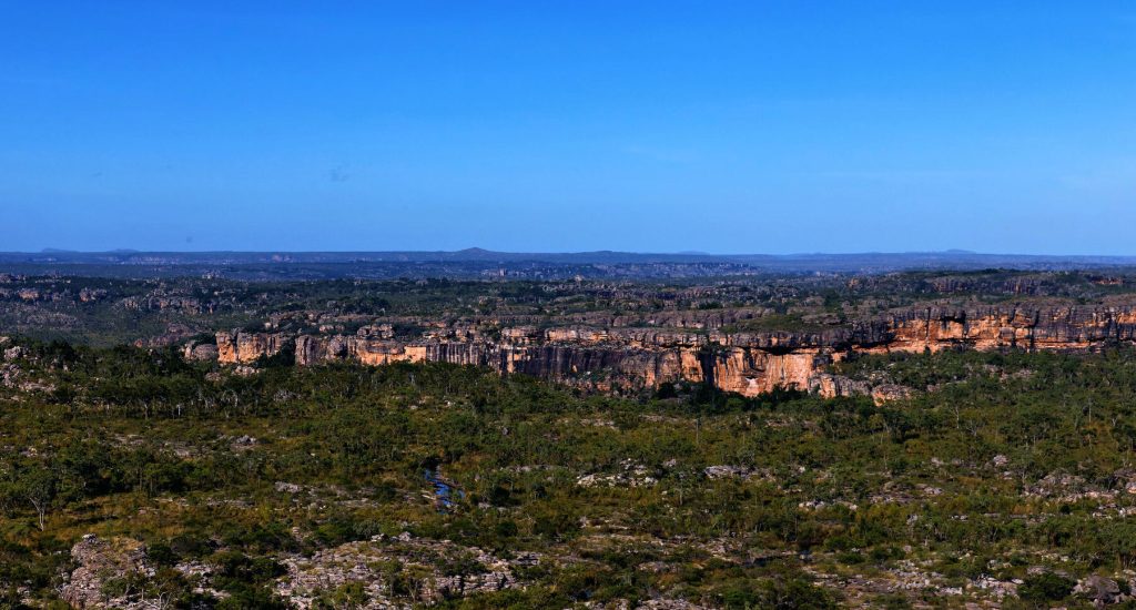
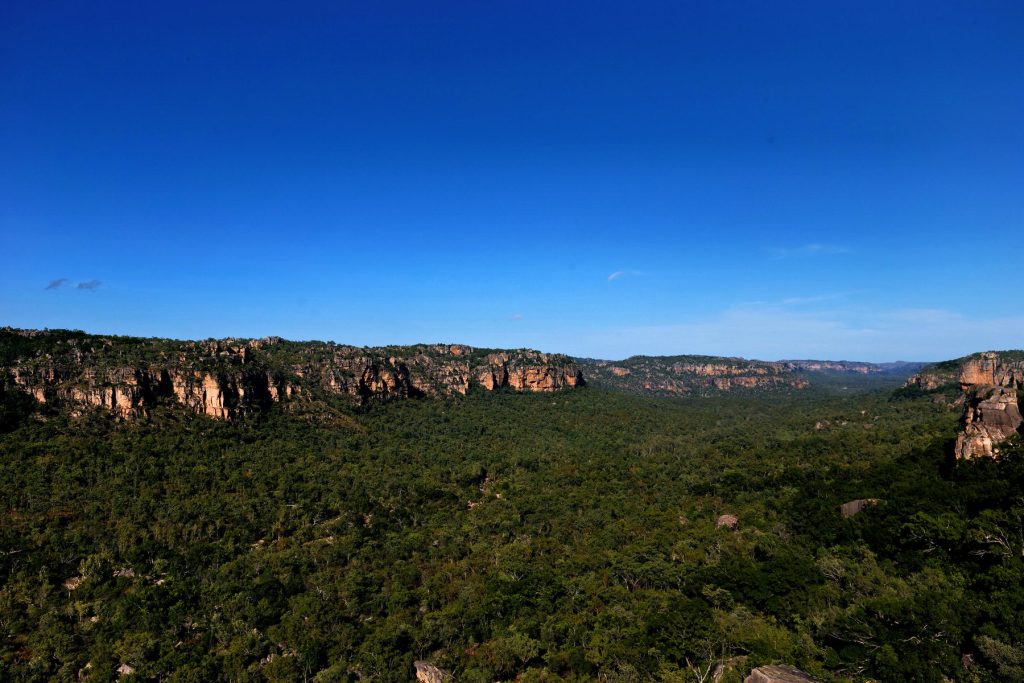
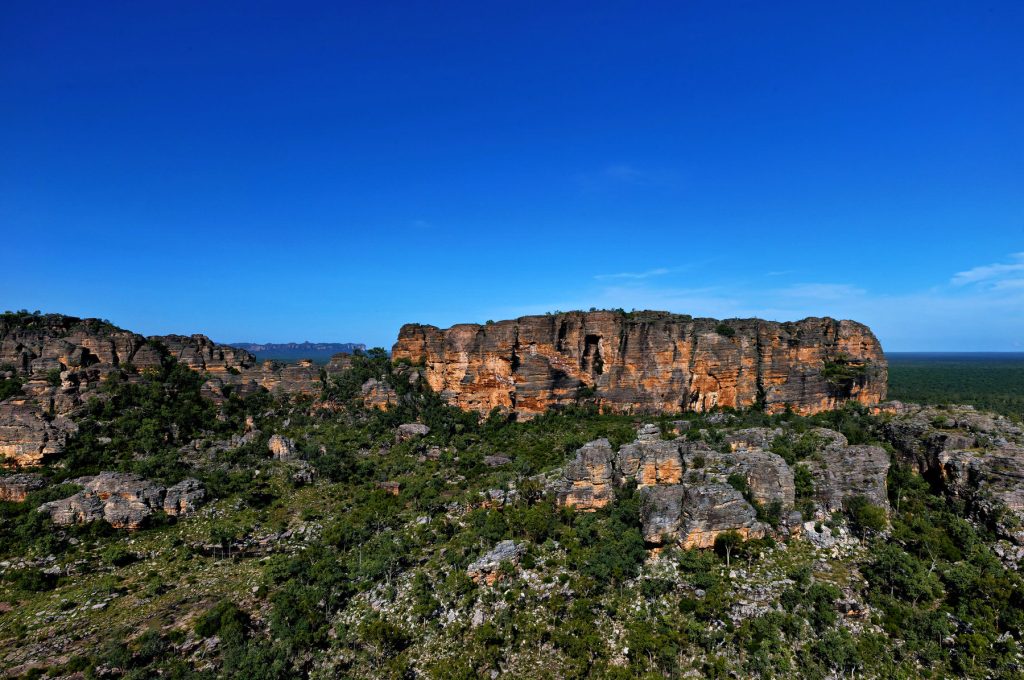
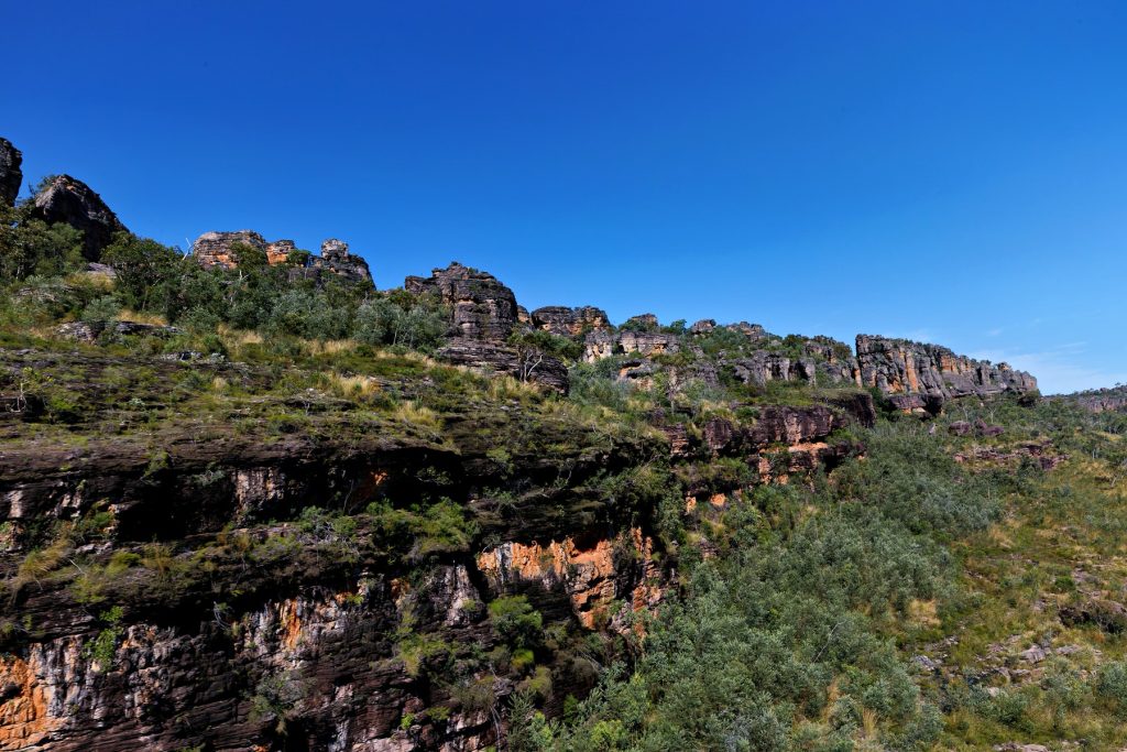
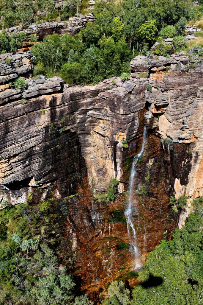
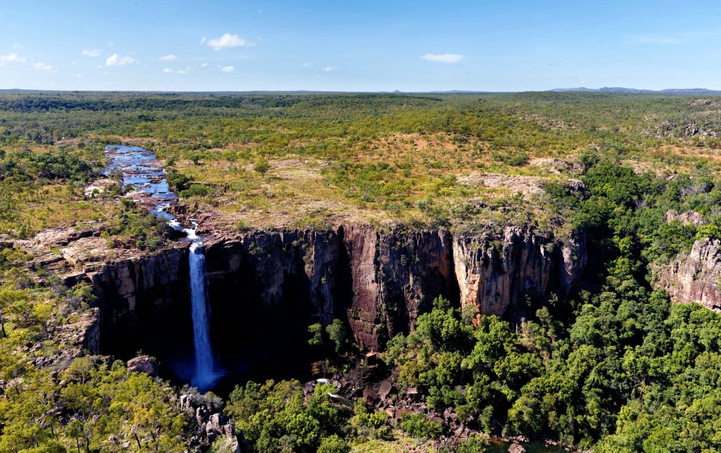
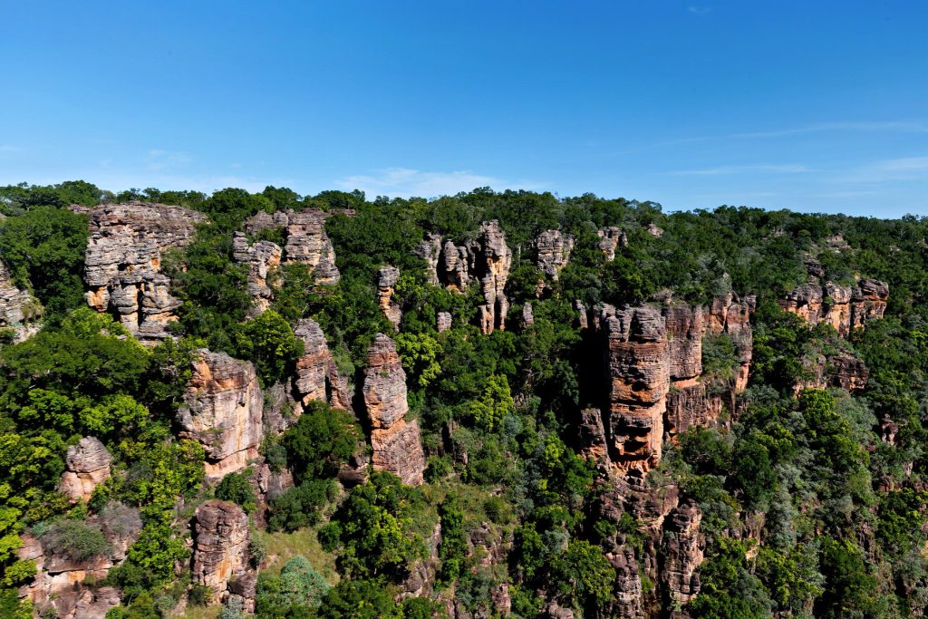
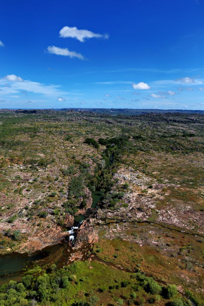
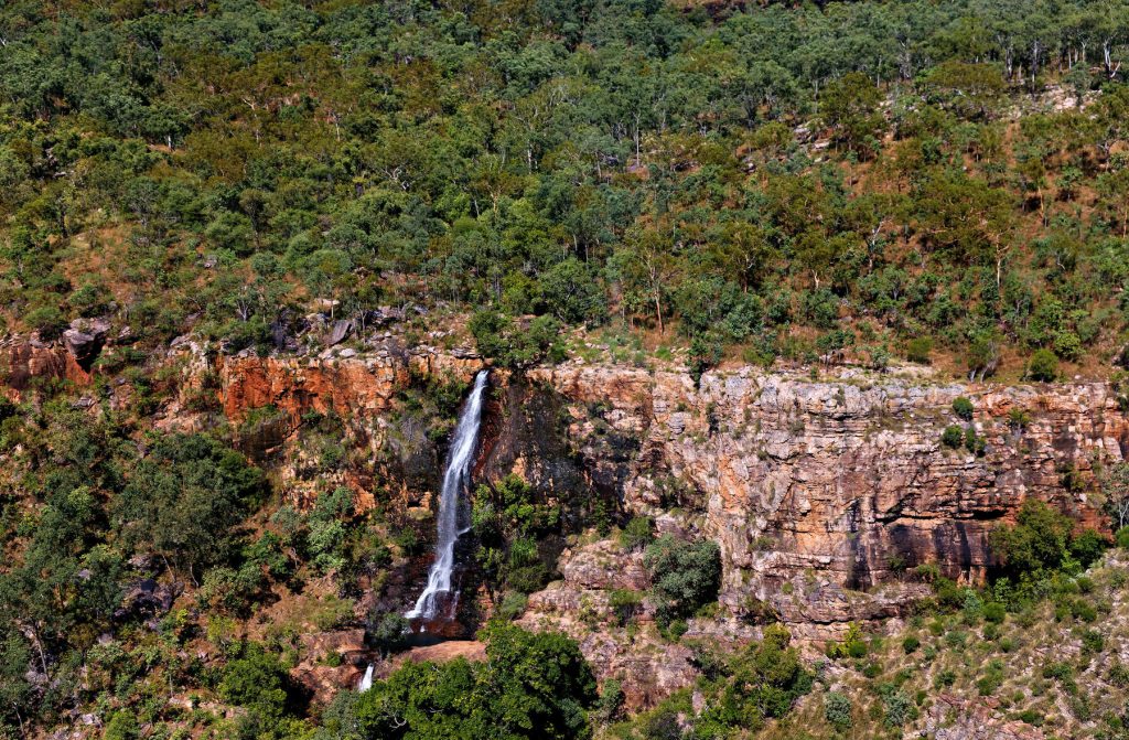
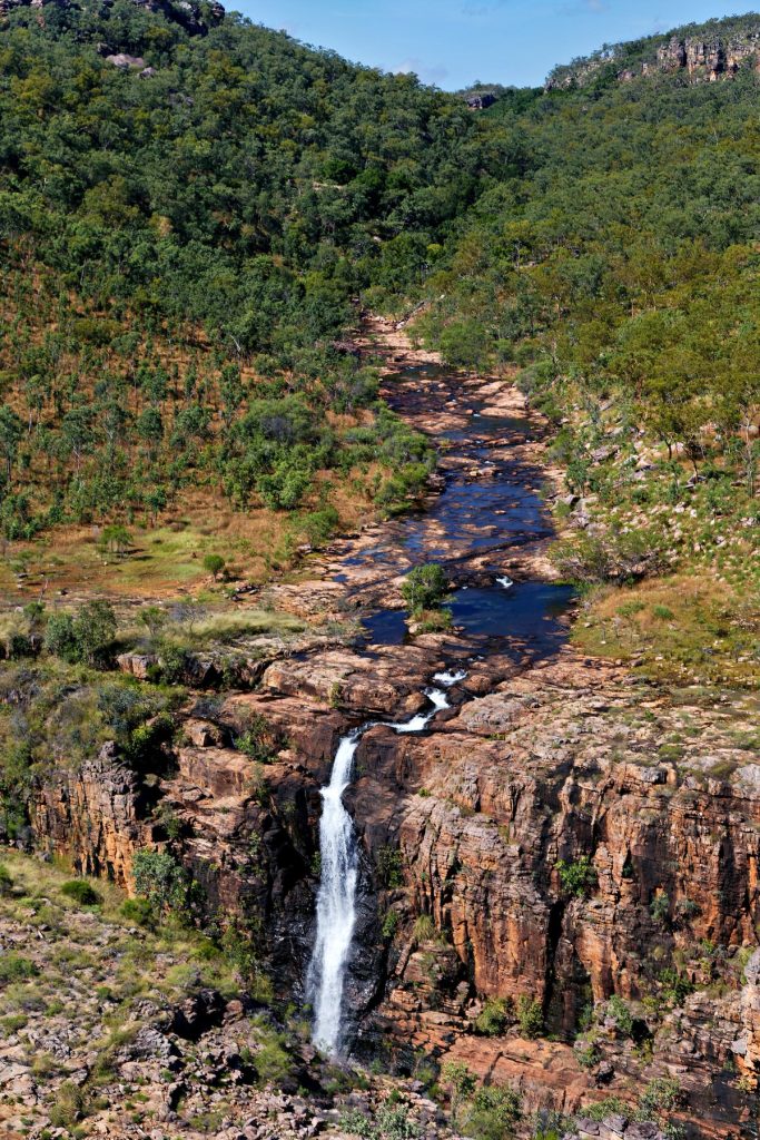
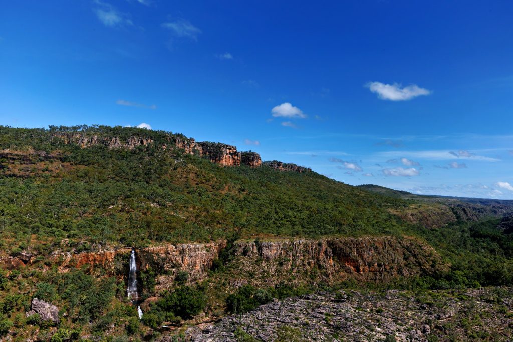
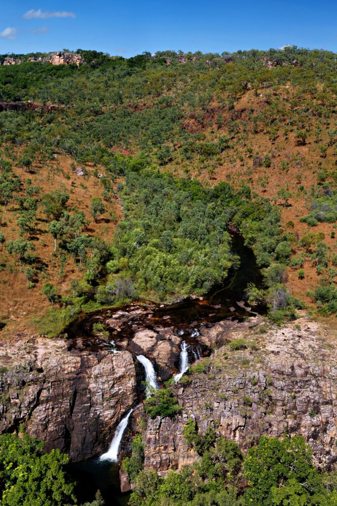
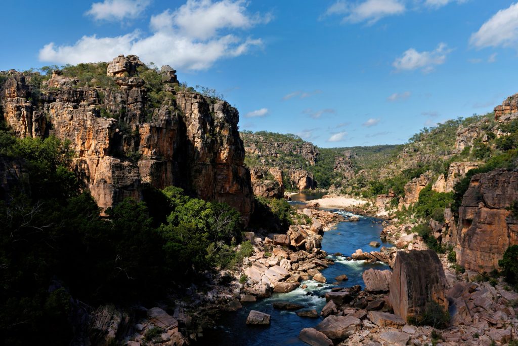
To be precise, these images are from the West Arnhem Region.
Some images reprocessed from The Doc’s 4 day helicopter trip around Arnhem Land and Kakadu in 2017. It was a great trip. Click on an image to see the slideshow. Enjoy.
A superb all round experience. Amazing accommodation, great facilities, great food and support from both AWC Guides and Bullo River staff. The trip included bird watching, a morning river cruise, a guided helicopter trip, road trips around the Station and a last minute change in our arrival because of rain washing out the airstrip. We landed in Kununurra and were driven into Bullo River Station, down the Bullo River Access Road.
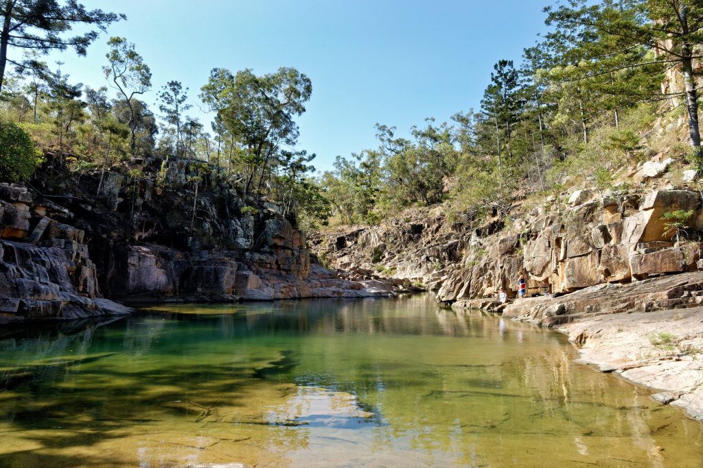
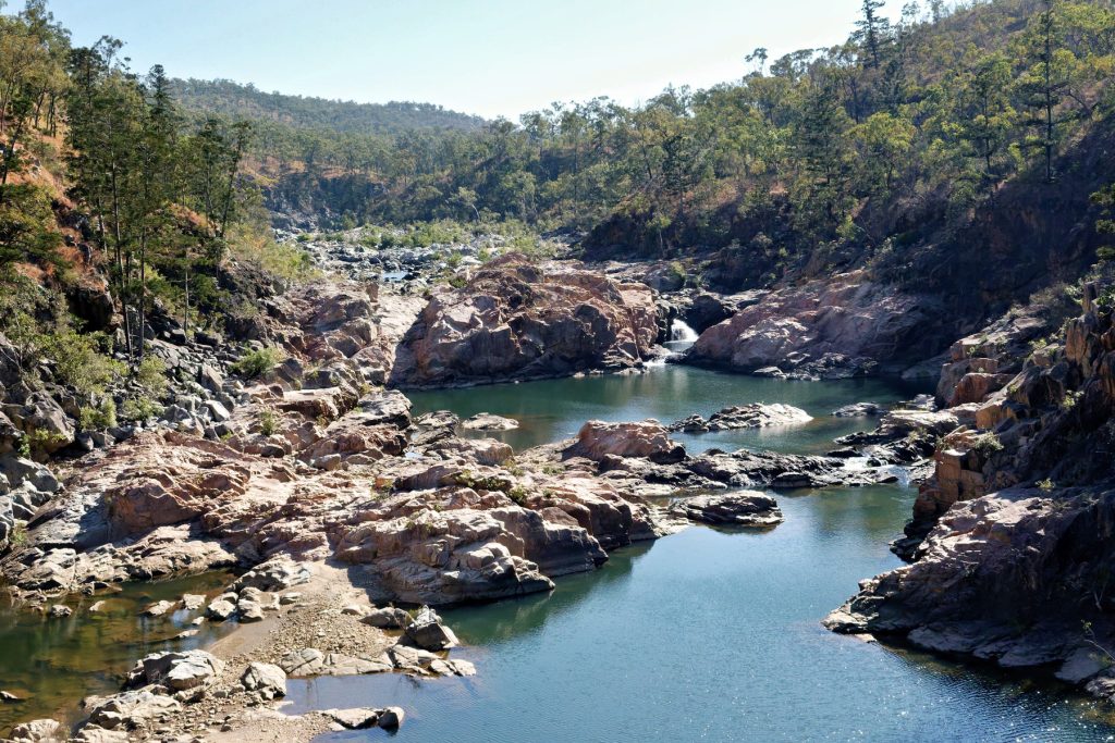
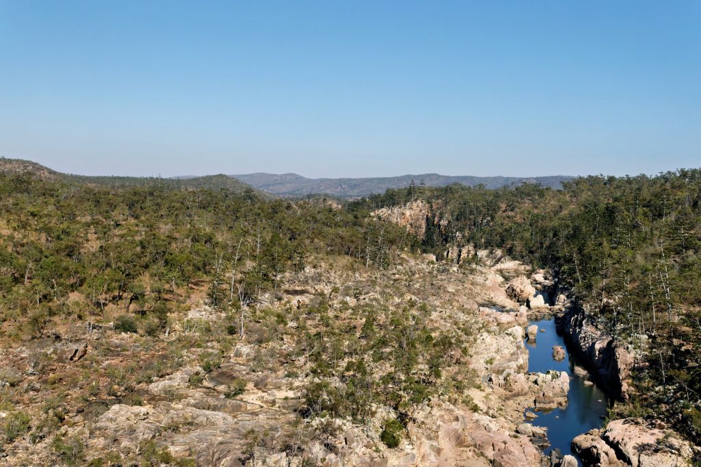
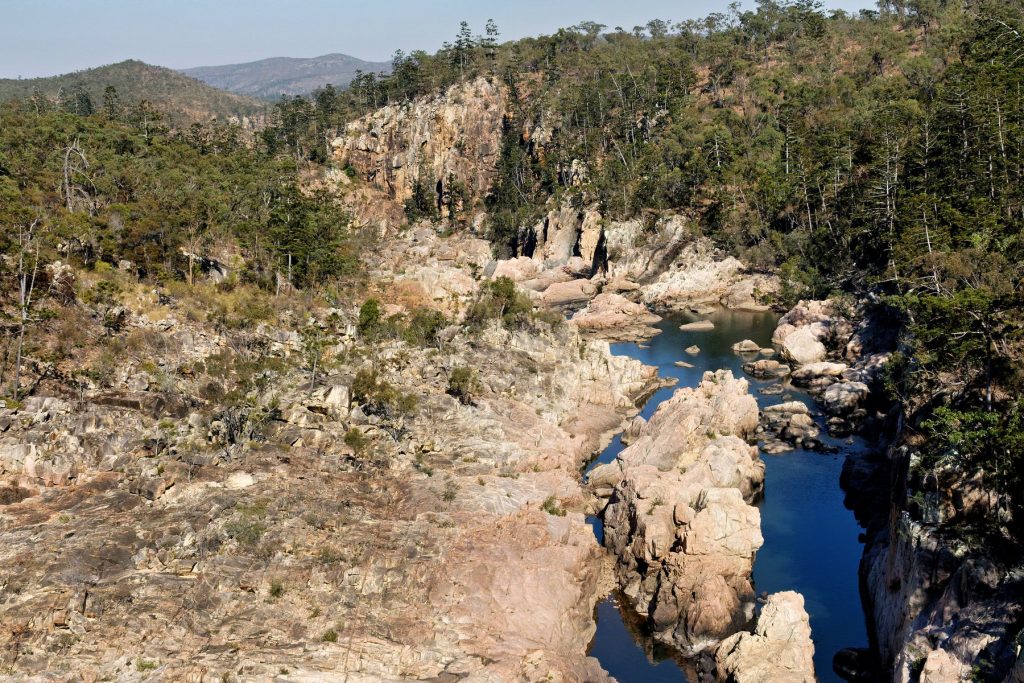
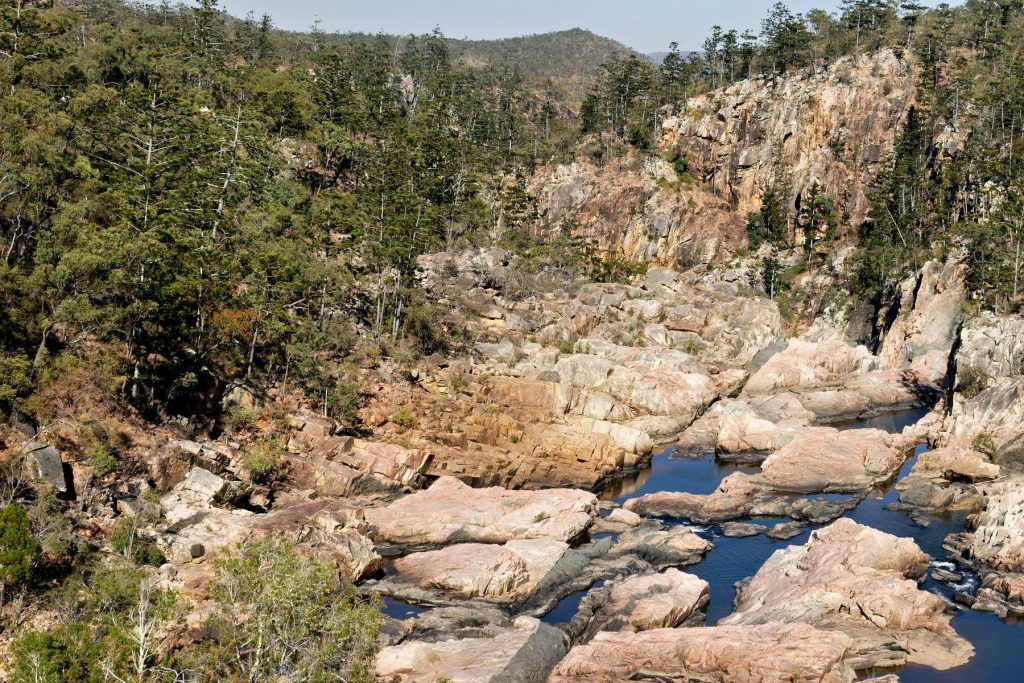
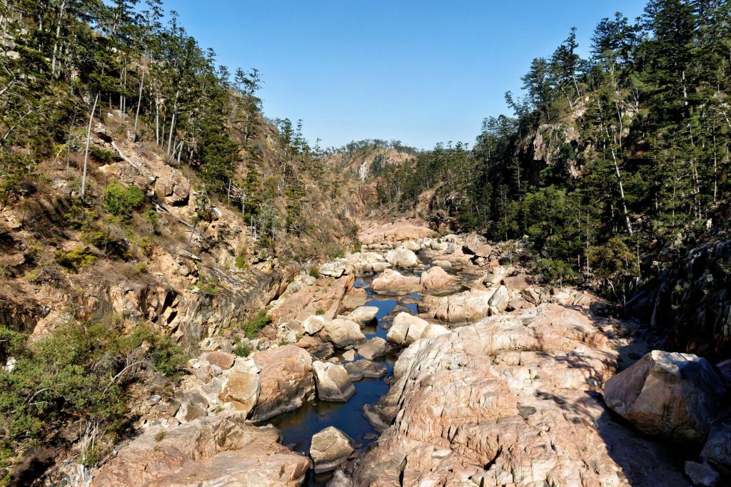
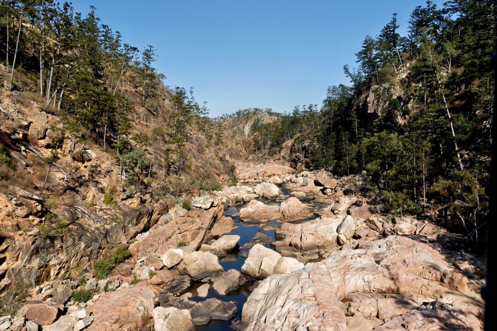
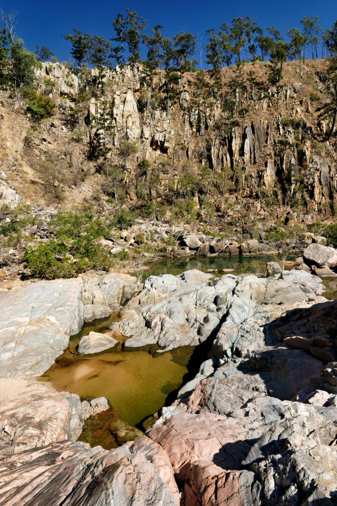
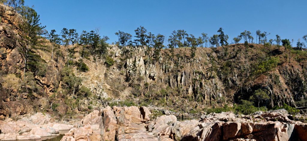
One place The Doc visited, on a helicopter trip around Bullo River Station, was Bullo River Gorge. More precisely, the part of the gorge known as Bull River Sands.
Earlier that morning, we had flown around the Bullo River and along the Victoria River to visit an AWC science team in the field, then we flew onto to Bullo River Gorge for breakfast.
The Bullo River starts and finishes on Bullo River Station, hence the Station’s name.
AWC runs the best supporter events, made even better when the Bull River Tourism team was involved.
A taste of what is coming. Enjoy.
Bullo River Sands, Bullo River Gorge, Bullo River Station
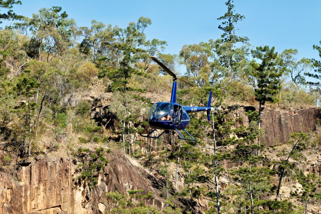
We were delivered in the bush taxi, a Robinson R44 helicopter landing in the gorge.
There was rain overnight at Bullo River Station, so planes cannot land on the unsealed air strip. Guests are leaving earlier from Darwin and being taken to a nearby air strip – that would be a country “nearby”. Kununurra has the nearest sealed airstrip.
Then Guests have a 3 hour drive into Bullo River Station, which has the longest driveway in the Northern Territory. The driveway is the hard left off the Victoria Highway on the map below. All part of the adventure, for me. Plus The Doc knows how to drive into Bullo River Station in the Grenadier!
AWC just works around the challenges to get us there. Thank you AWC.
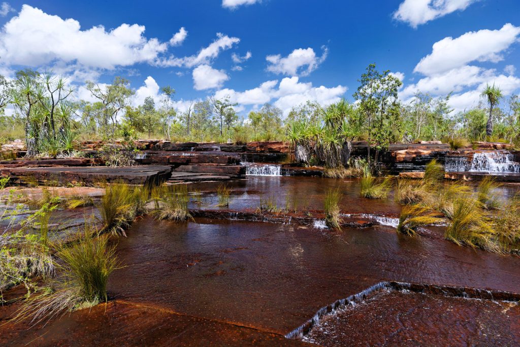
When posting some Kimberley images recently The Doc realised he has not posted images from his 2-day helicopter trip out of Derby in 2015 (better late than never!) – except 2 or 3 images.
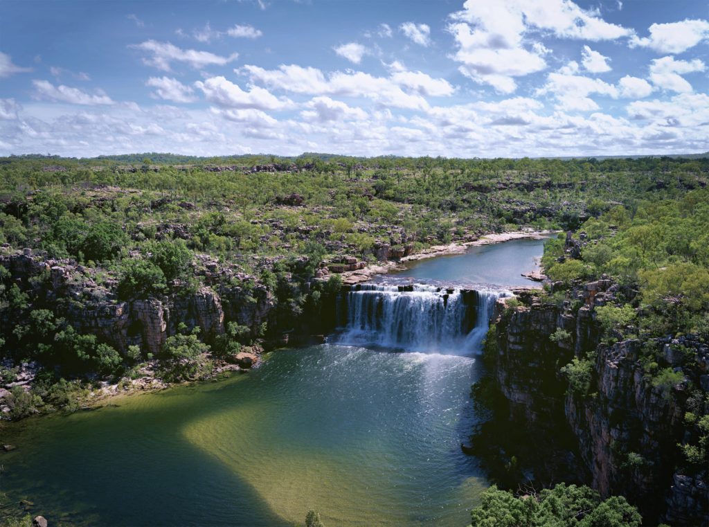
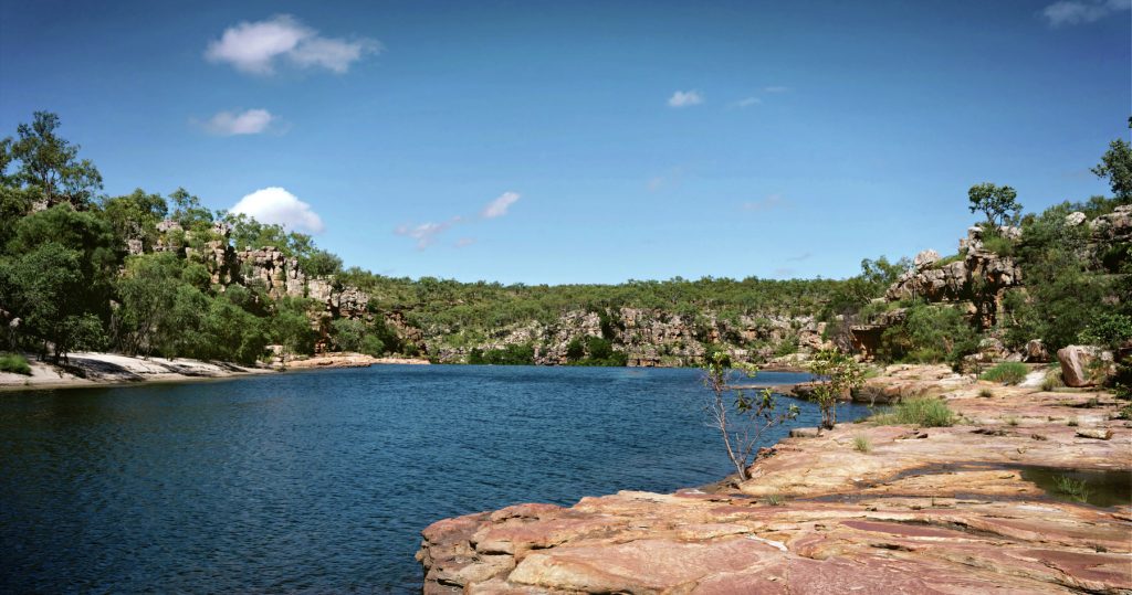
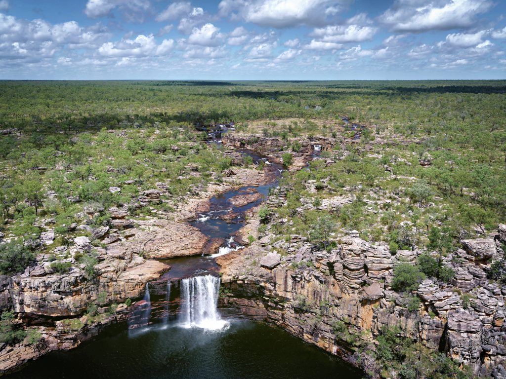
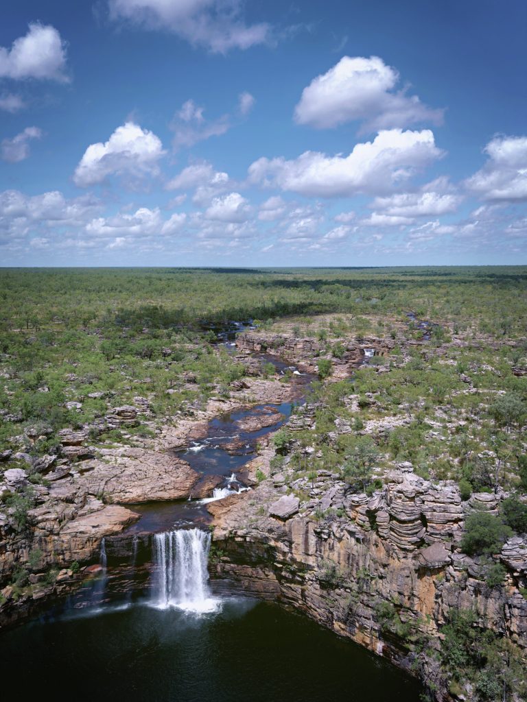
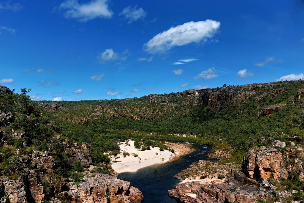
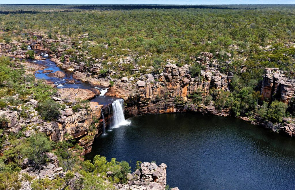
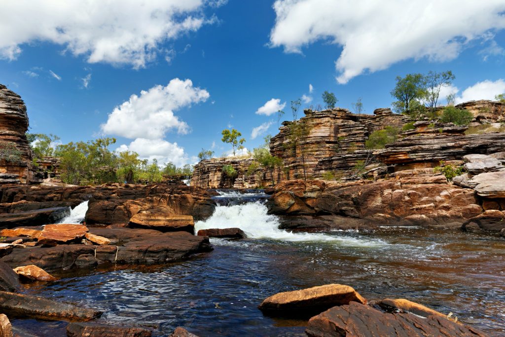
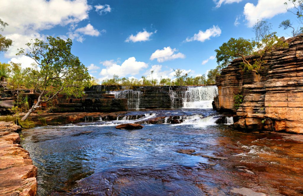
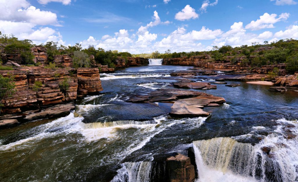
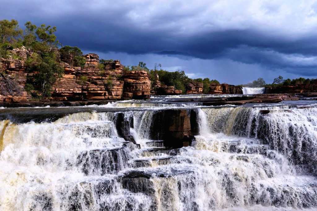
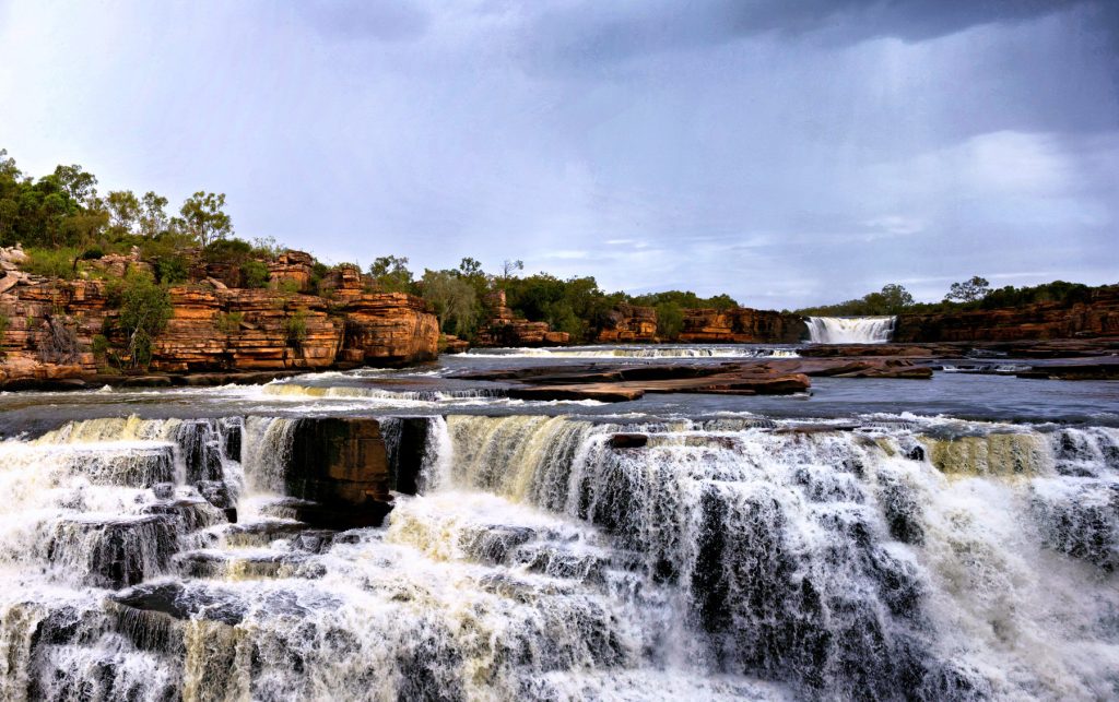
Starting with Day 2, here are images from flying along the Charnley River Gorge, Artesian Range, The Kimberley, Western Australia. It was a thrill of a lifetime, breathtakingly beautiful place. We had permission from Australian Wildlife Conservancy to do the trip over their property and land. With both the pilot and the passenger being AWC supporters helps!
The Artesian Range is the only part of Australia that has not suffered any mammal extinctions since European settlement, but the cane toads got into the area in the last few years. So that may change.
Where the river bed is a muddy light grey, the river is tidal. The clearer water is beyond the tidal zone and is fresh water coming down the river.
We landed and took pictures of Aboriginal art, which had some very rare figures. The Doc may post one or two later.
Make sure you click on the image to see the full size slide show.


You must be logged in to post a comment.