Category Archives: NT

Devil’s Marbles revisited

The Doc reprocessed some images from his Northern Territory trip, since he cannot travel due to treatment. This time the Devils Marbles south of Tennant Creek. A few image this time. Click on any image to see the slideshow, enjoy.

Arnhem Land Revisited – medium format style

The Doc took two cameras on the helicopter, including a Pentax 645Z Medium format camera. The Pentax gives massive files which The Doc can crop how he wishes. The files have eye watering details, not always appreciated when you can only post small images on a blog.

The Pentax renders very accurate colours, more so than the Canon 1DX which was the other camera used. These images are a very accurate representation on what you see from the helicopter.

To be precise, these images are from the West Arnhem Region.

Arnhem Land Revisited

Some images reprocessed from The Doc’s 4 day helicopter trip around Arnhem Land and Kakadu in 2017. It was a great trip. Click on an image to see the slideshow. Enjoy.

Bullo River Station Report finished

The longest report The Doc has done for an AWC Supporter’s Event. Lots of photos and an amazing experiences here.

Corroboree Billabong – the Sony A9III in the field

The Doc took the Sony A9III out into the field for its first use. A few test photos on the ground at Bullo River Station, but the first proper test was the helicopter trip around the property. Report coming, with images, in due course.

With any new camera there is learning curve concerning how to best set it up and use it. A few mistakes were made and a few images lost, but no disaster. The Doc was worried at setting the frames per second (fps) too low in the helicopter, but the culling of images showed that not to be the case.

The camera can go up to 120 fps in High Plus speed mode. 120 fps was not used on the helicopter, but it was on the Corroboree Billabong cruise, when The Doc had limited time to get images, including the old saltwater crocodile. The camera was amazing and this feature will come in useful for action shots. You must use it sparingly and cull images cull images, hard.

Having visited Corroboree Billabong before with Wetland Cruises, The Doc knew it would be a good day trip out of Darwin. Corroboree Billabong has the highest concentration of crocs in the world. It has both fresh water and salt water crocodiles. Corroboree Billabong is located on the Mary River floodplain.

The landscape images were being taken by the Sony P&S, not the A9III, as the A9III was fitted with a 135mm lens.

The harsh light in the middle of the day meant no brilliant images from the billabong.

The roadtrains and billabong images first, followed by the crocs close ups.

Now the croc images. The croc was getting close to 5 metres in length, so very dangerous to the stupid and unwary.

Bullo River Gorge – lots of bull

The Doc is back in Darwin, sorting and culling images from the trip. He will spend a week here exploring, after a rest day.

If Bullo River Station sounds familiar it was made famous by Sarah Henderson’s book From Strength to Strength.

A superb all round experience. Amazing accommodation, great facilities, great food and support from both AWC Guides and Bullo River staff. The trip included bird watching, a morning river cruise, a guided helicopter trip, road trips around the Station and a last minute change in our arrival because of rain washing out the airstrip. We landed in Kununurra and were driven into Bullo River Station, down the Bullo River Access Road.

One place The Doc visited, on a helicopter trip around Bullo River Station, was Bullo River Gorge. More precisely, the part of the gorge known as Bull River Sands.

Earlier that morning, we had flown around the Bullo River and along the Victoria River to visit an AWC science team in the field, then we flew onto to Bullo River Gorge for breakfast.

The Bullo River starts and finishes on Bullo River Station, hence the Station’s name.

AWC runs the best supporter events, made even better when the Bull River Tourism team was involved.

A taste of what is coming. Enjoy.

Bullo River Sands, Bullo River Gorge, Bullo River Station

We were delivered in the bush taxi, a Robinson R44 helicopter landing in the gorge.

Bullo River Station: slight change of plans


There was rain overnight at Bullo River Station, so planes cannot land on the unsealed air strip. Guests are leaving earlier from Darwin and being taken to a nearby air strip – that would be a country “nearby”. Kununurra has the nearest sealed airstrip.

Then Guests have a 3 hour drive into Bullo River Station, which has the longest driveway in the Northern Territory. The driveway is the hard left off the Victoria Highway on the map below. All part of the adventure, for me. Plus The Doc knows how to drive into Bullo River Station in the Grenadier!

AWC just works around the challenges to get us there. Thank you AWC.

Exploring Bullo River Station: a journey to the Victoria Bonaparte Bio Region

The Doc is flying out to Darwin today. Next stop Bullo River Station, where Australian Wildlife Conservancy is hosting a Supporter’s Event, starting Wednesday. Thankfully AWC provides a high level of support, if needed.

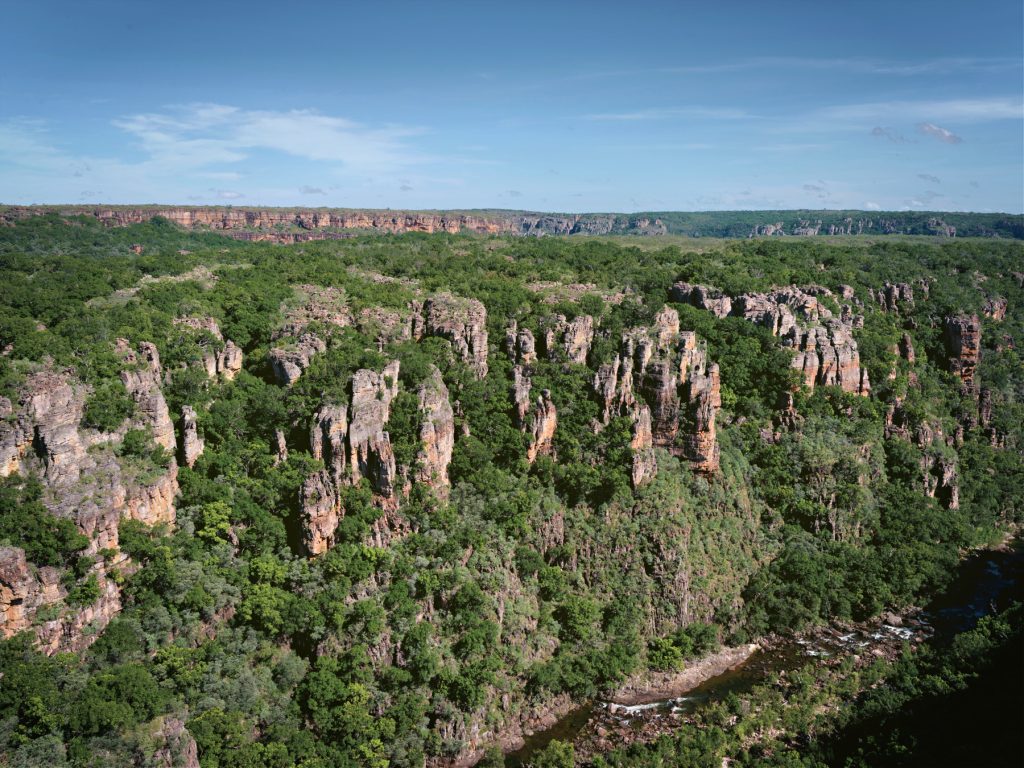
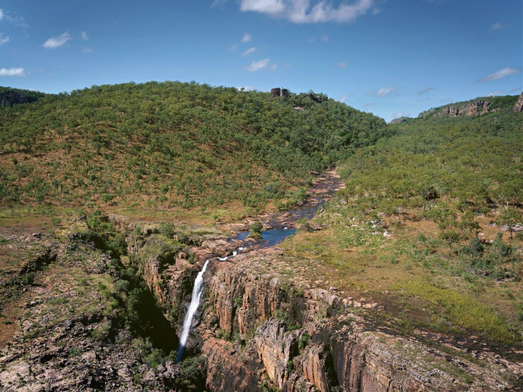
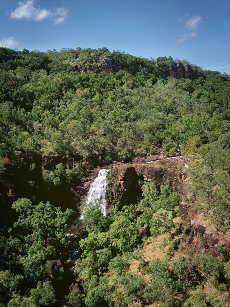
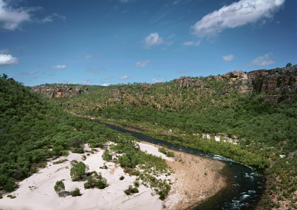
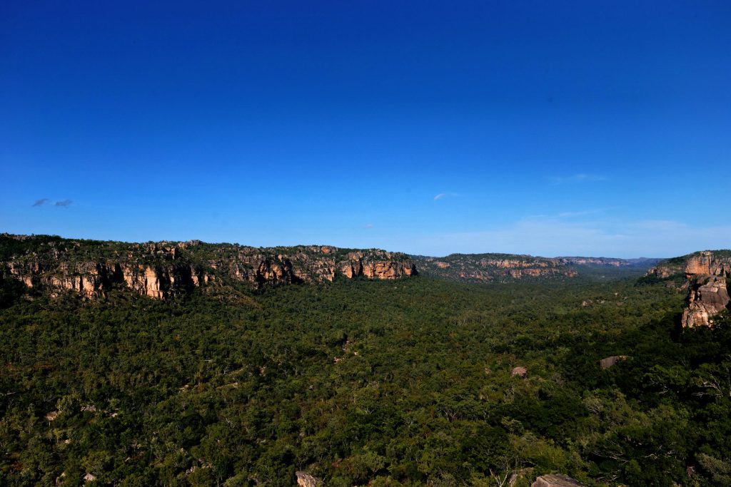
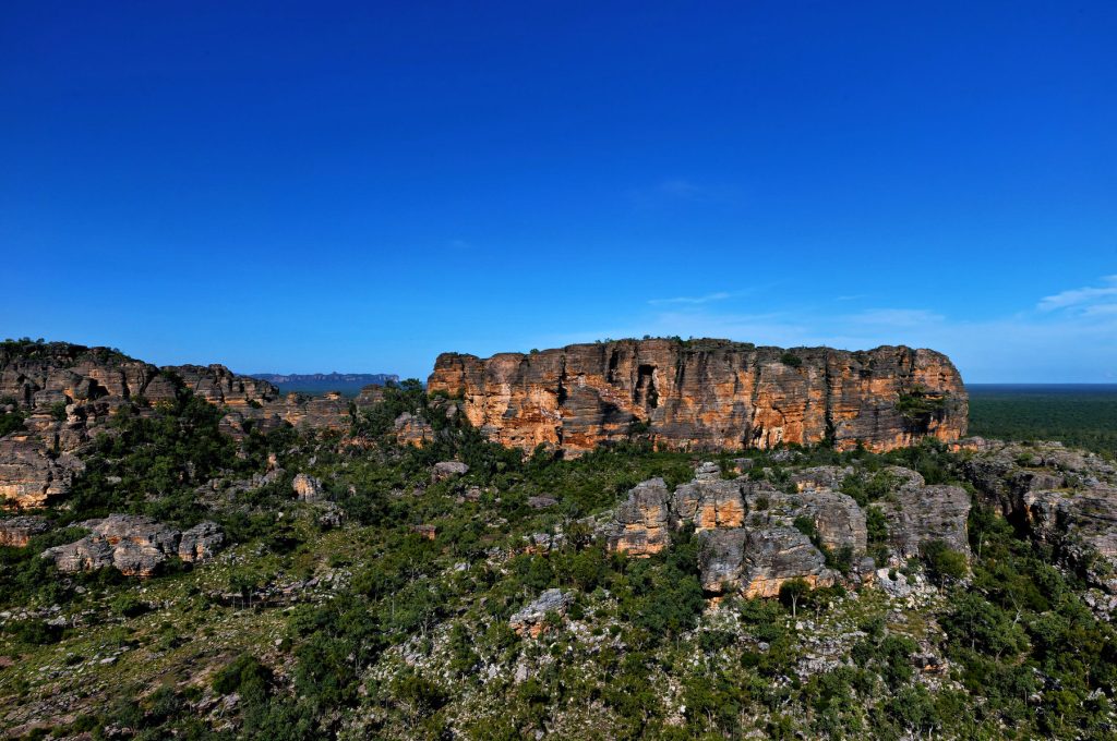
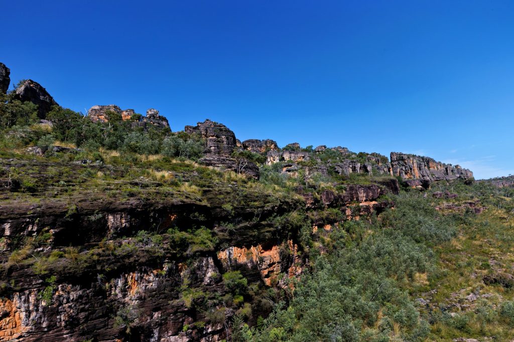
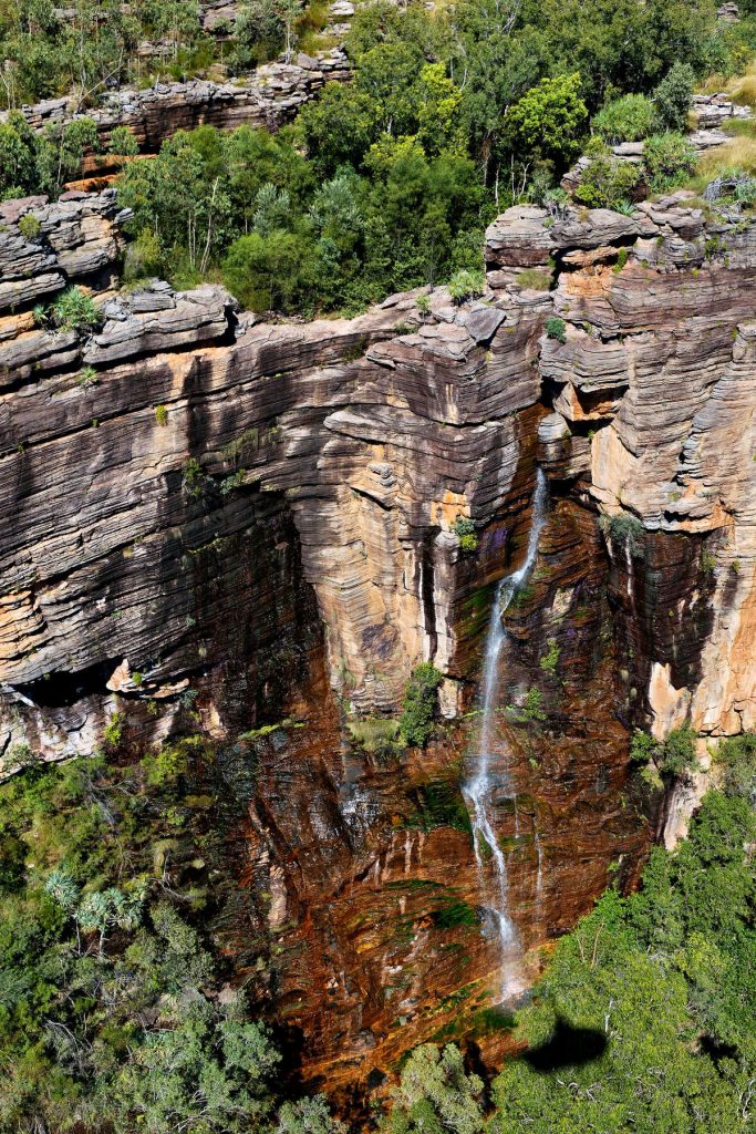
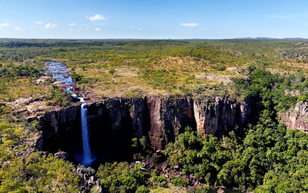
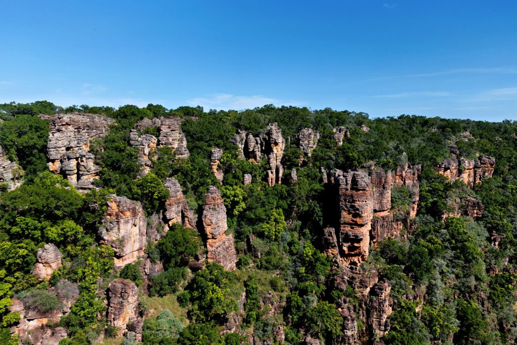
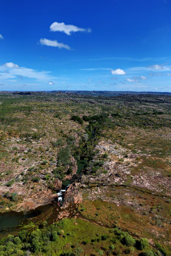
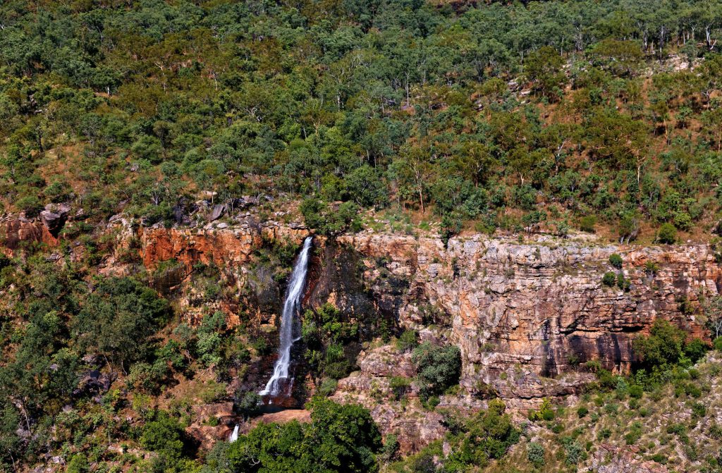
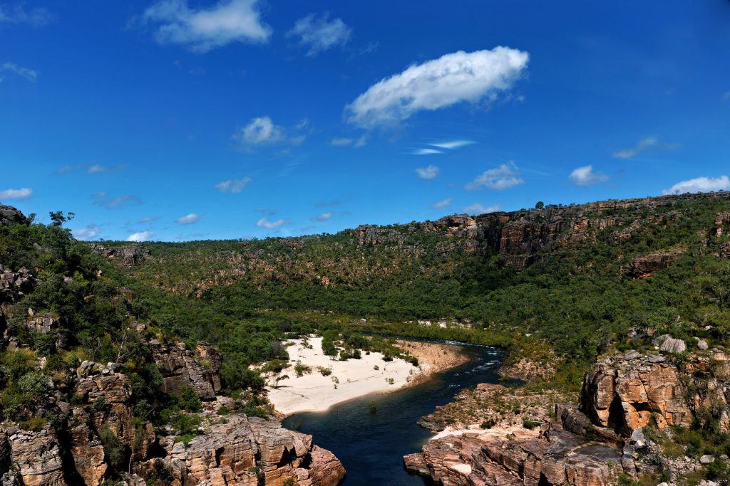
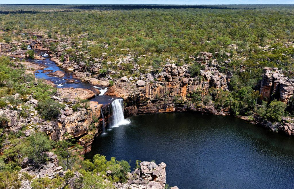
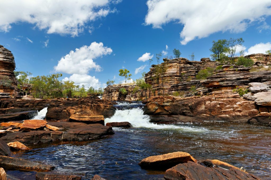
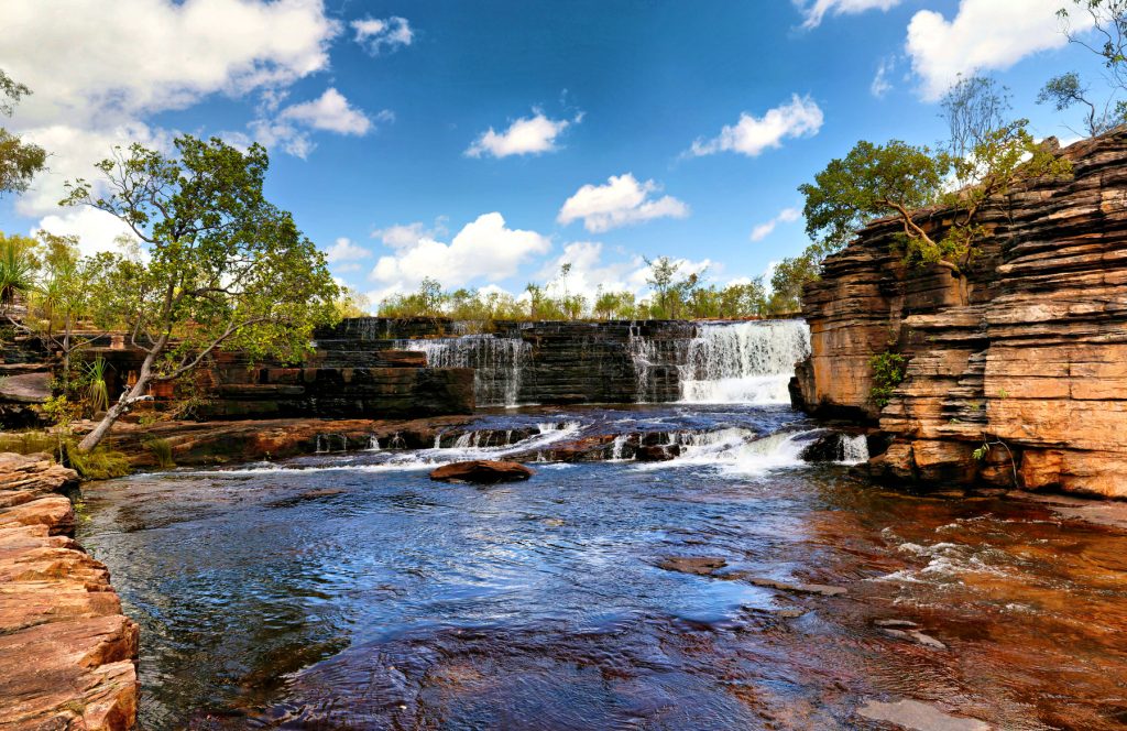
Bullo River Station is near the headwaters of the Victoria River close to the Northern Territory and Western Australian border, sometimes called the Eastern Kimberleys. More accurately it is the Victoria Bonaparte Bio Region (named after the Victoria River and the Joseph Bonaparte Gulf, into which the Victoria River flows).

The Gulf is part of the larger Timor Sea. The Doc has not been this close to the coast in this part of Australia before, another first. He has only ever been well south around Timber Creek, Kununurra and Wyndham.

The Victoria River flows into the eastern side of the little-known Joseph Bonaparte Gulf, while the 5 Rivers up Wyndham way feed into the Cambridge Gulf on the western side of the Joseph Bonaparte Gulf.

Joseph Bonaparte was the older brother of the more famous Bonaparte.

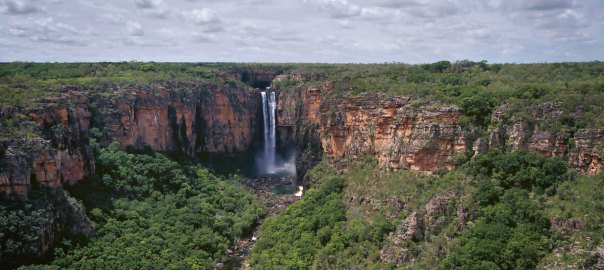
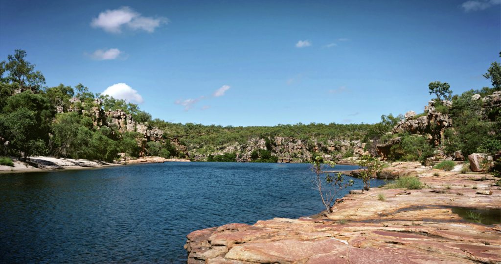
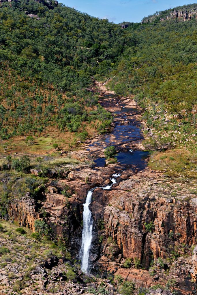
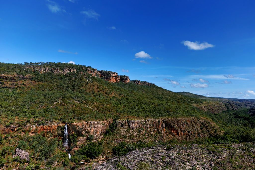
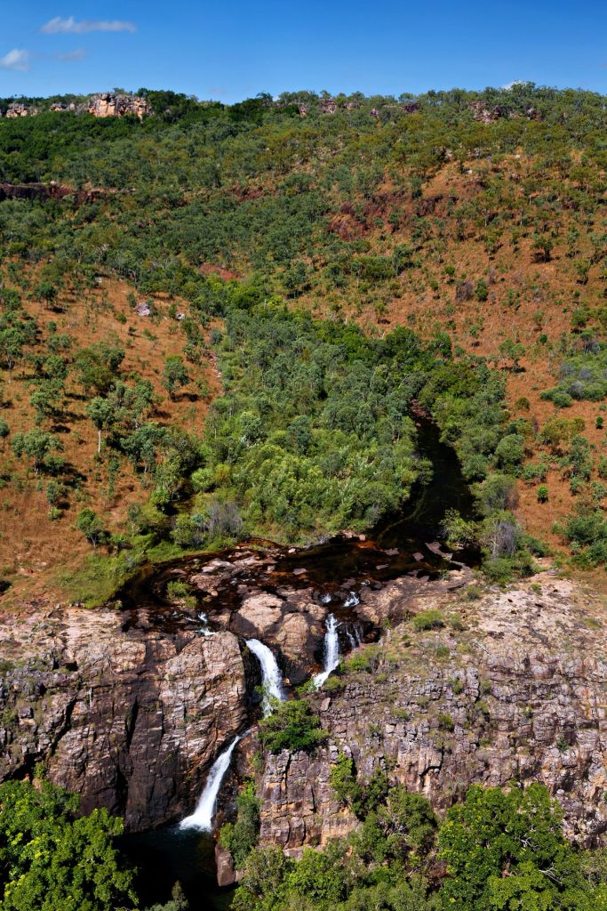
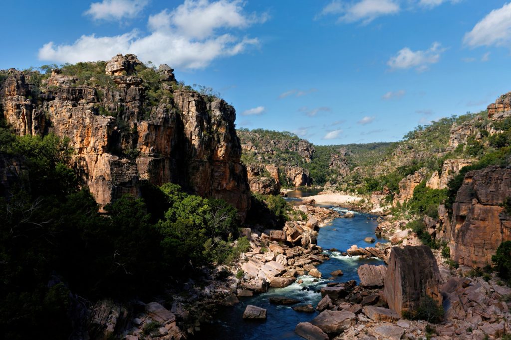
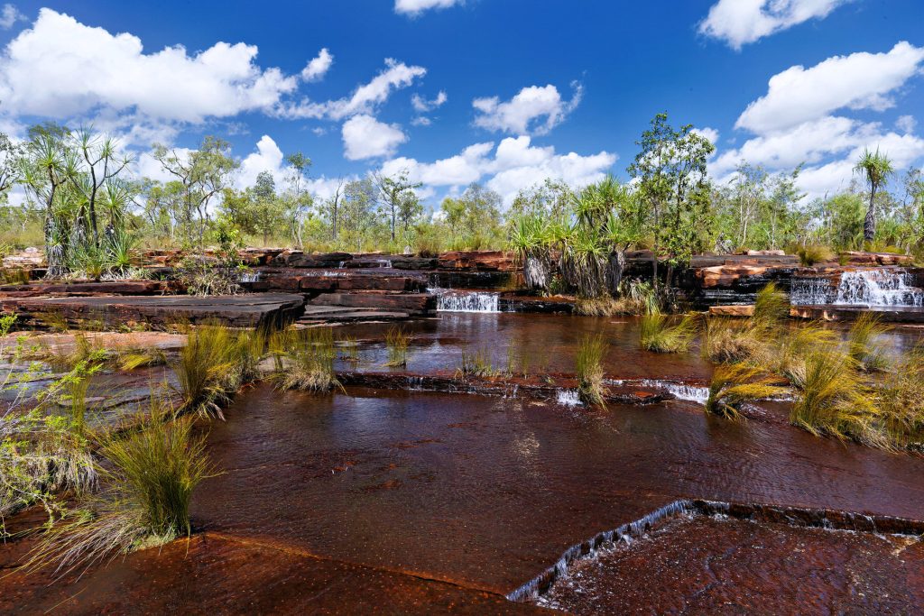
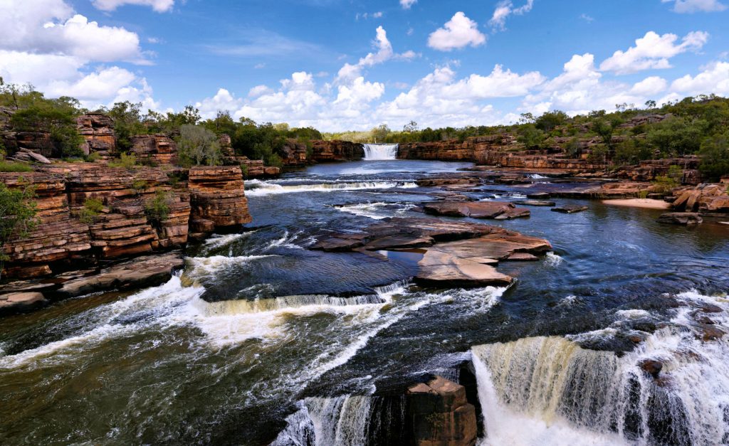
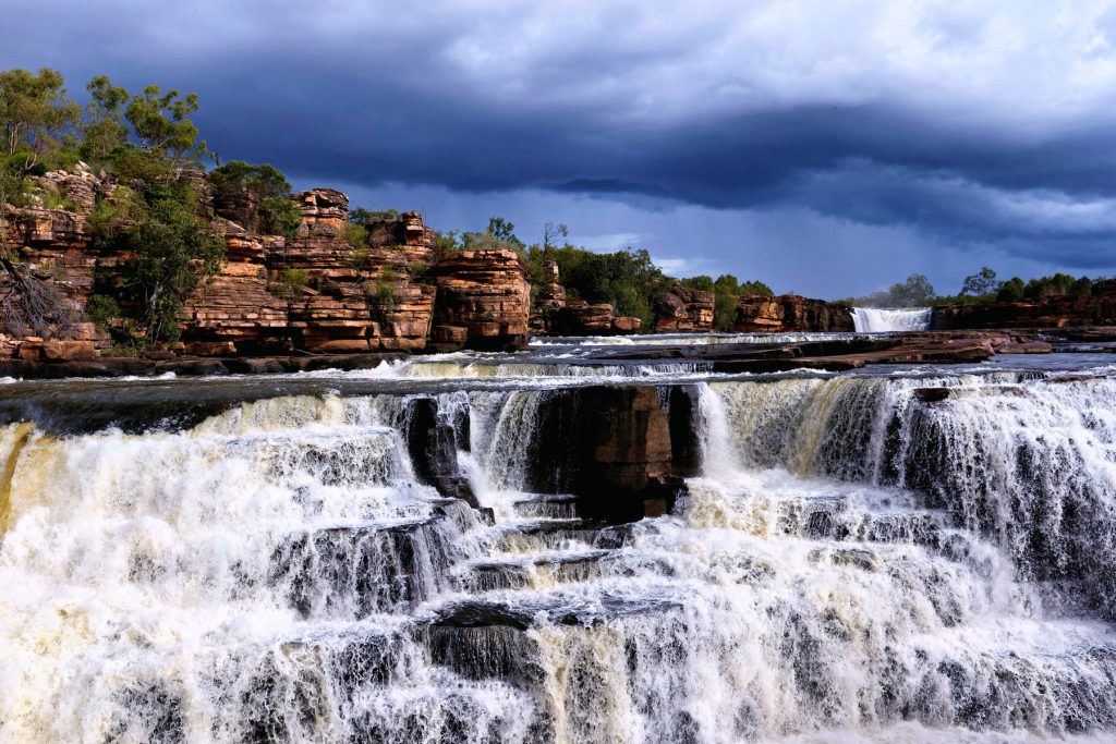
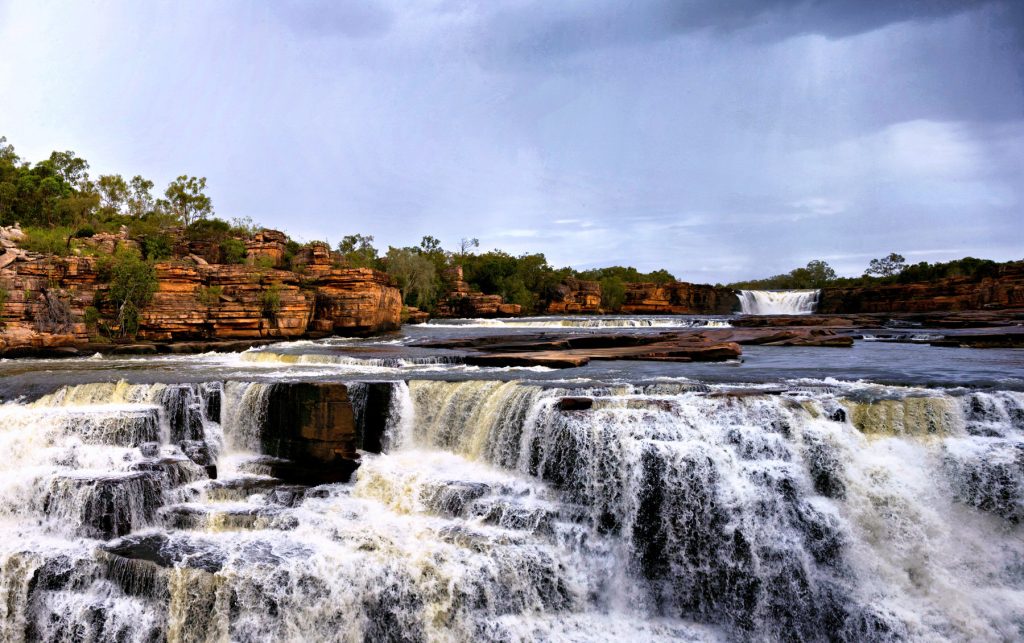
Looking at satellite maps, there are many mud flats in this area, like Derby. Plenty of water in the wet season, plenty of mud down the river systems and mud flats everywhere! Plus, gorges, crocs and vegetation like the Kimberley.

It is nice to finally get away from all the intense rehab and treatment over the last 9 months. Upon my return The Doc needs to pick up the Vista RV Crossover hybrid van. Then more visits to Specialists and then, he hopes, to start traveling more widely again.

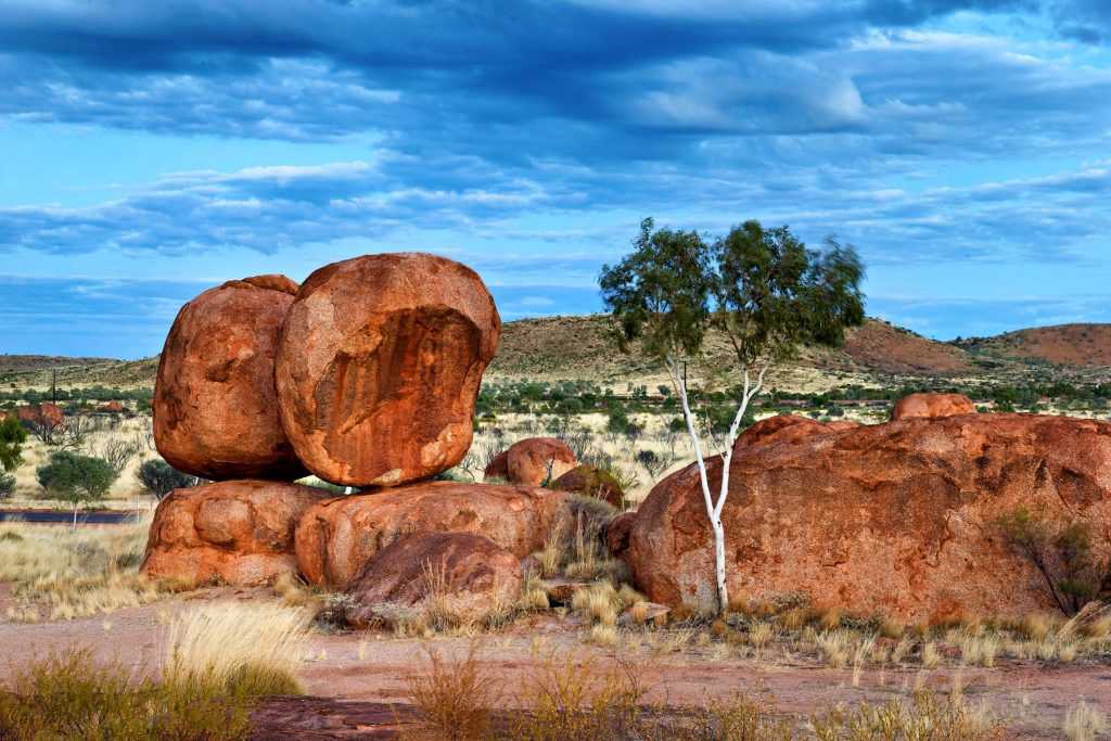
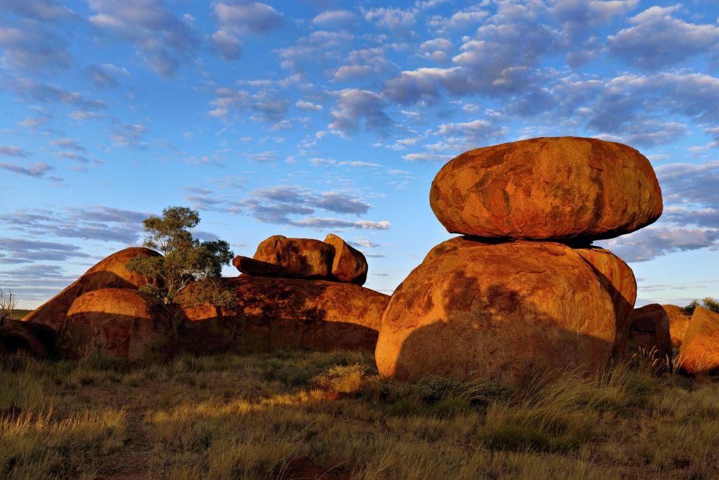
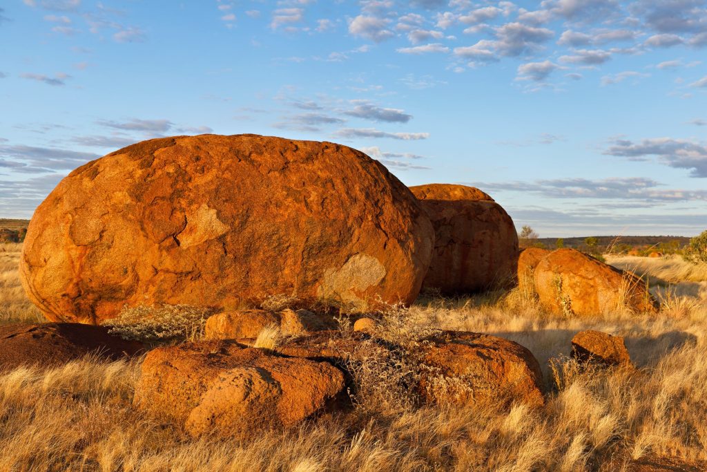
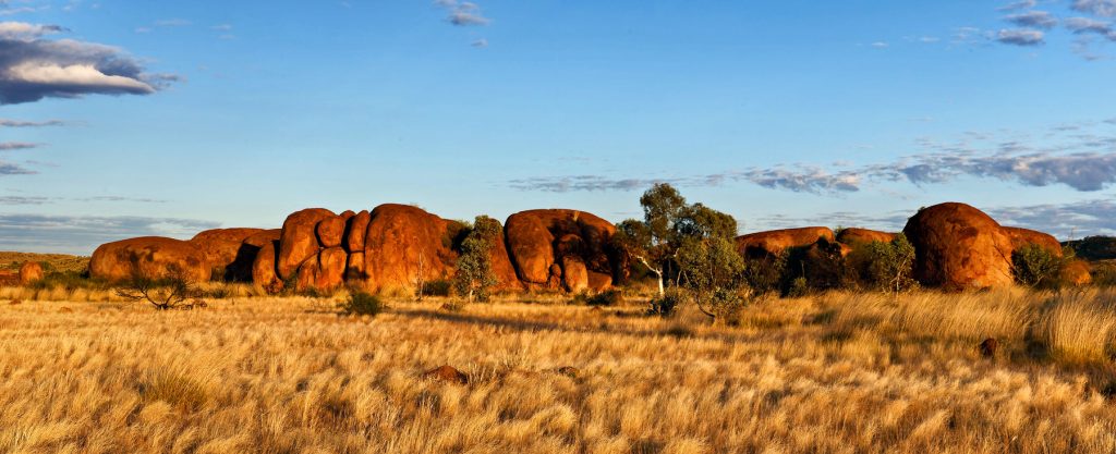
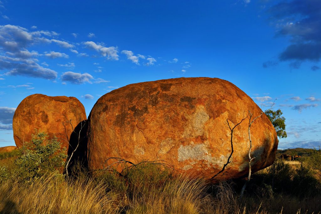
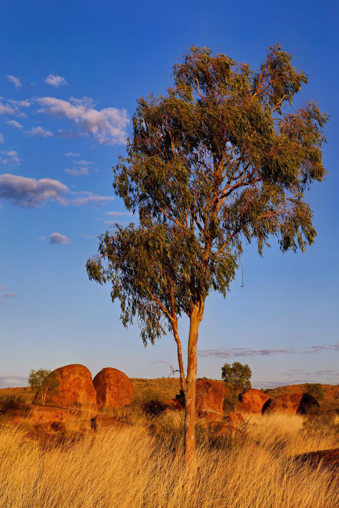
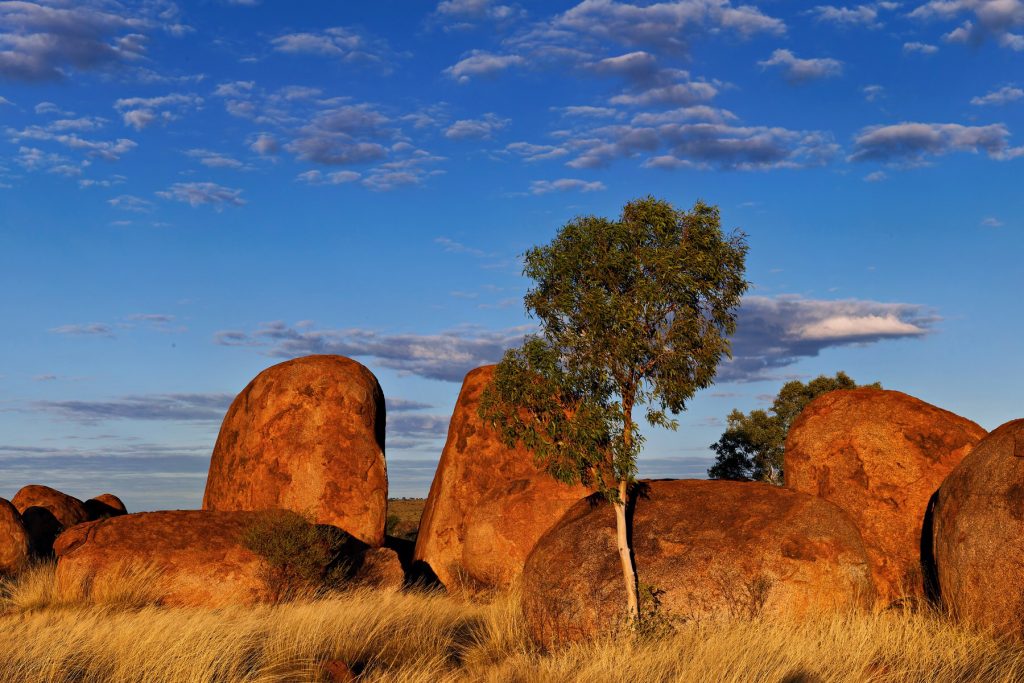
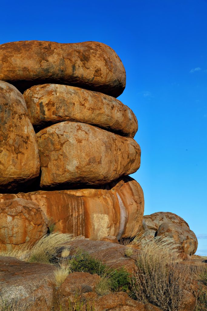
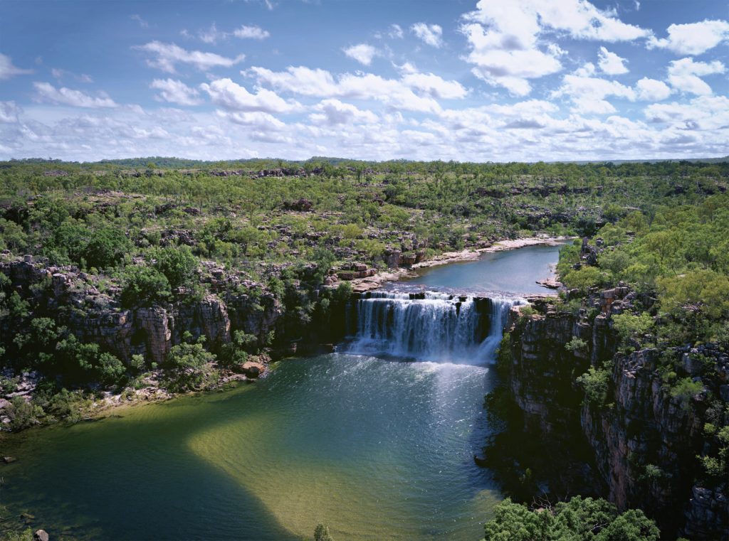
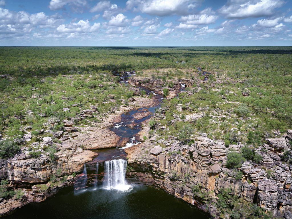
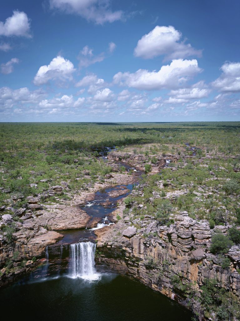
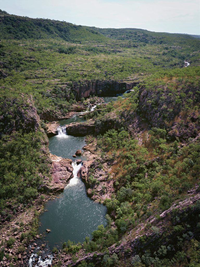
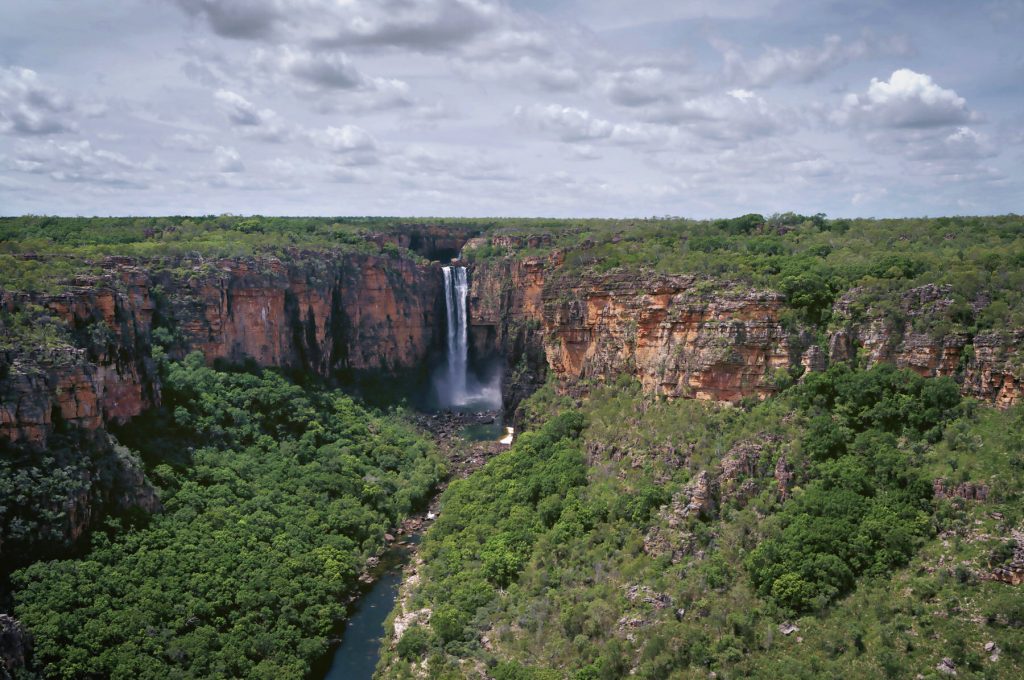
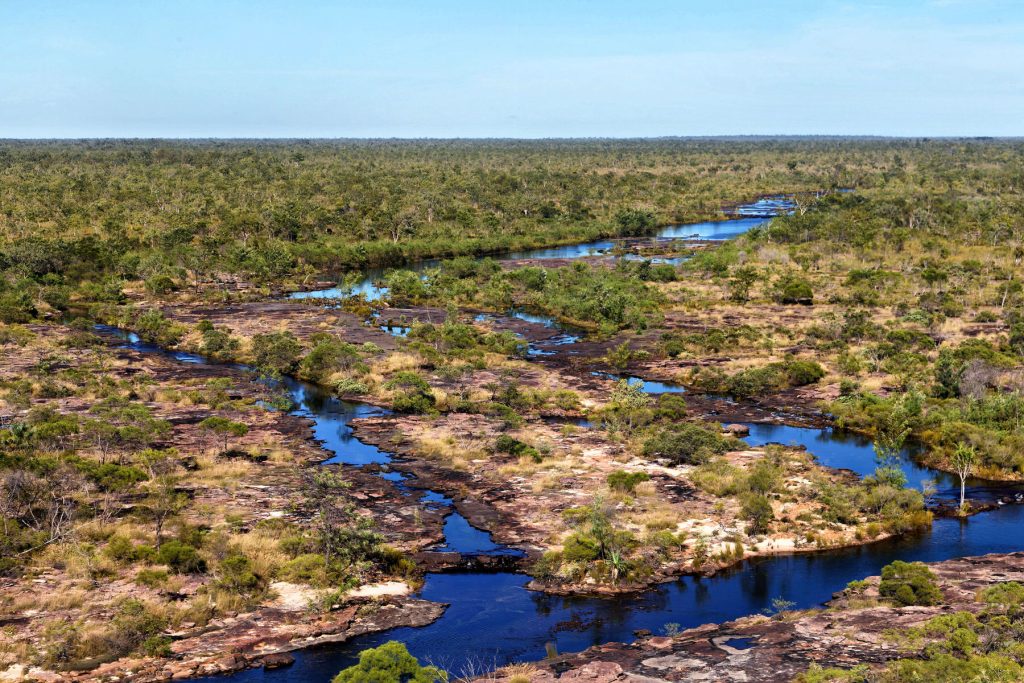
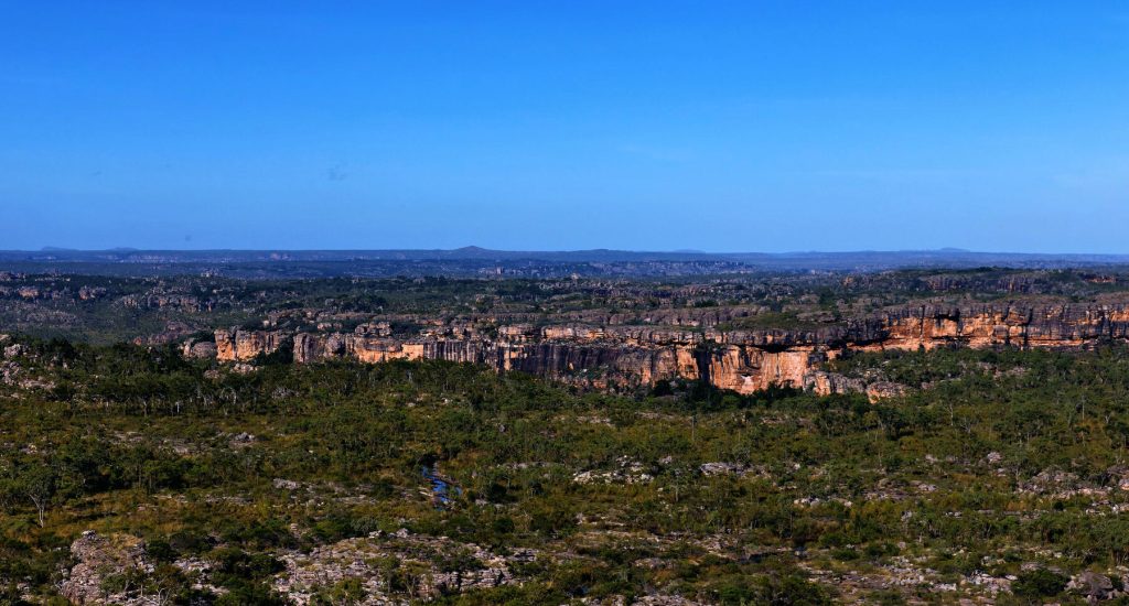
The above image was generated using AI, but The Doc hopes to make his own images during the visit.

EDIT: Now in Darwin and ready to fly out to Bulloo River Station tomorrow morning.

The Gulf of Carpentaria at Lorrella Springs Station

Photo from the helicopter trip The Doc took at Lorella Spring Station, North Territory. There are still some gems in the photo library. The day was very overcast, on the trip we visited various lost cities (rock formations), then flew down the river to visit The Gulf of Carpentaria. The Doc still needs to properly sort the images from this helicopter trip.

The helicopter landed on the beach to the right and we explored and then had morning tea.

Stunning Sturt Desert Pea

Commonly known as the Sturt Desert Pea, floral emblem of South Australia. The dark eye version is from South Australia, the lighter coloured eye is the northern or WA form found in the Northern Territory and WA.

It is known by some other names as well including: Swainsona formosa, Showy Donia (G. Don 1832), Beautiful Donia (G. Don 1832), Dampier’s clianth (Veitch 1850), Dampier’s Clianthus (Hooker 1858), Sturt’s pea (Adelaide Advertiser 1858), Sturt pea (de Mole 1861), Captain Sturt’s desert pea (Aspinall 1862), Desert pea (Anon 1864), Sturt’s desert pea (Tenison-Woods 1865), Glory flower (Bailey 1883), Glory pea (Bailey 1883), Sturt’s glory pea (Anon 1886), Lobster claws (The Garden 1890), Blood flower (Parker 1898), Dampier’s glory pea (Guilfoyle 1911), Australian glory pea (Guilfoyle 1911), Dampier pea (Harris 1980).