Category Archives: river/creeks

AWC’s Mornington – Revisited – Part 2

The Point and Shoot images from the Supporters Event at AWC’s Mornington Sanctuary.

Broome to Mornington
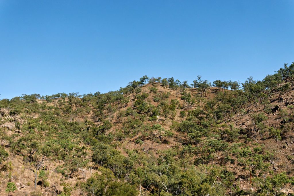
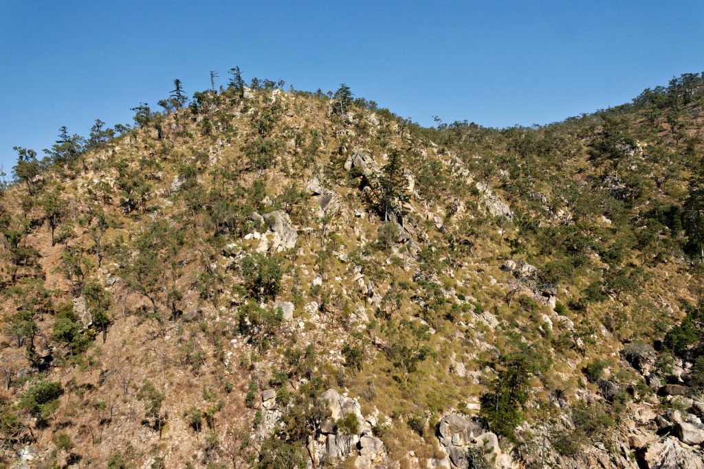
Images flying into Mornington and around the main camp.
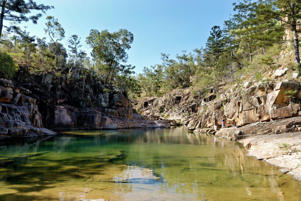
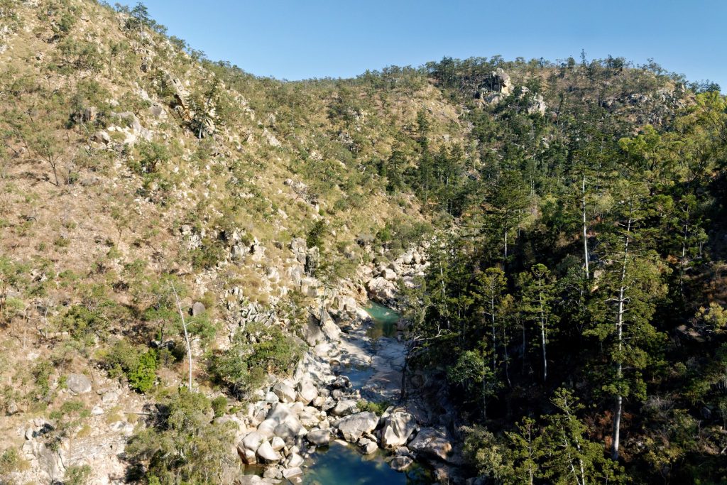
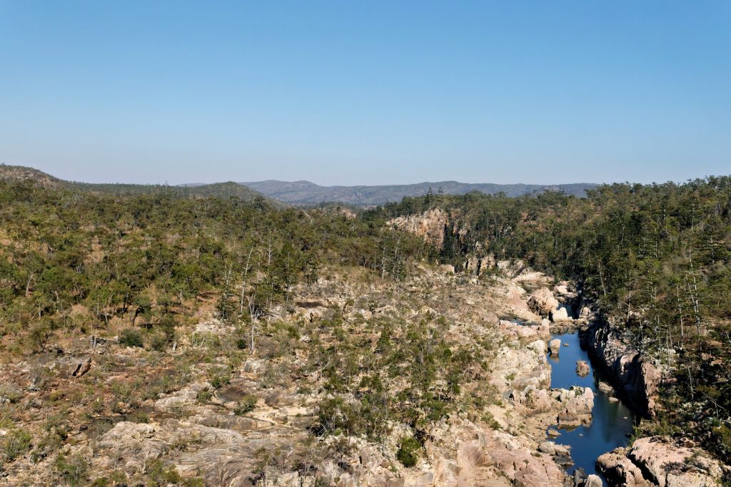
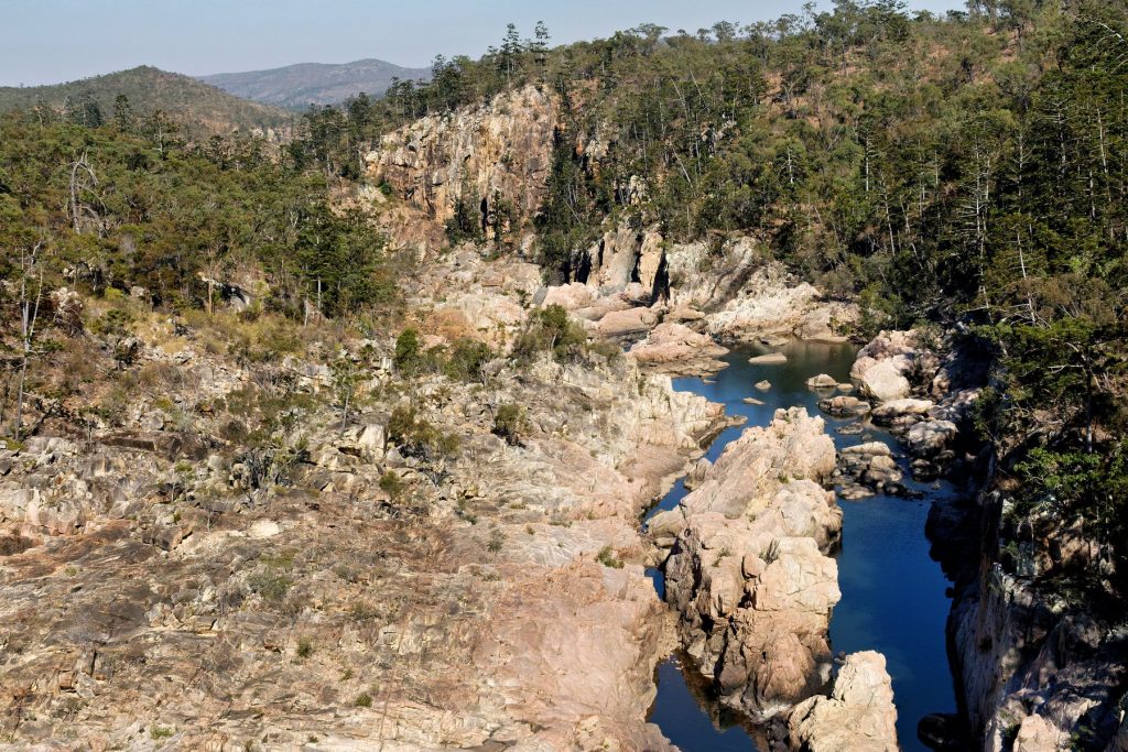
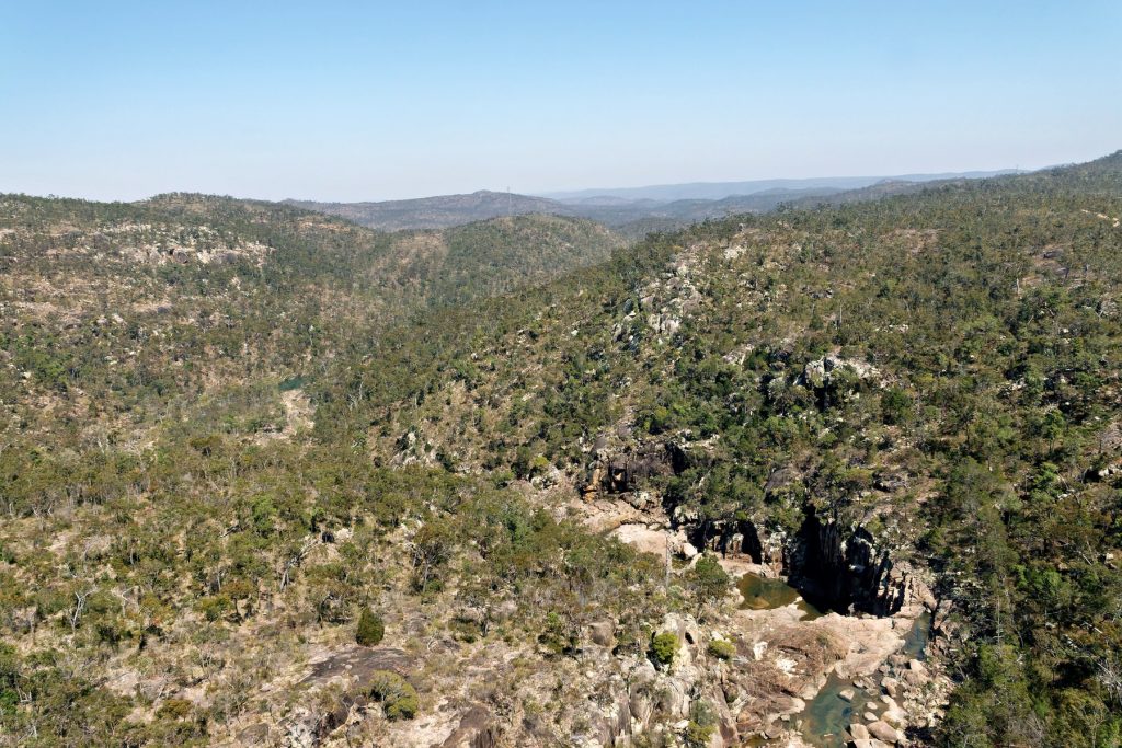
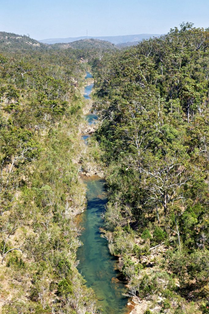
Sir John Gorge
Then off to Sir John Gorge for afternoon tea, overlooking the Fitzroy River. A stunning location.

A talk that night, from memory, about Mornington Sanctuary.
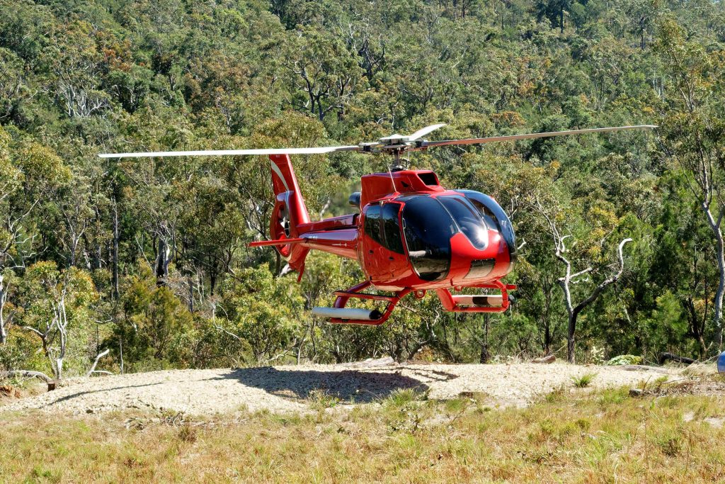
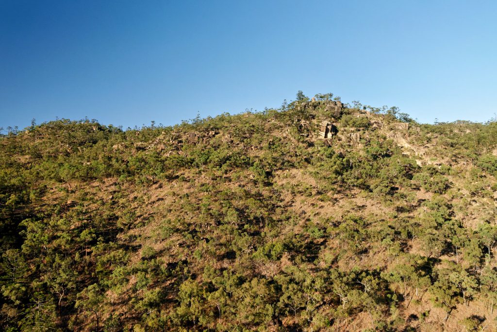
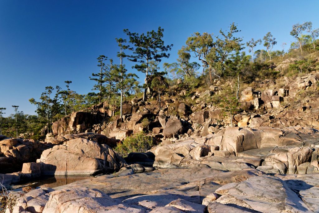
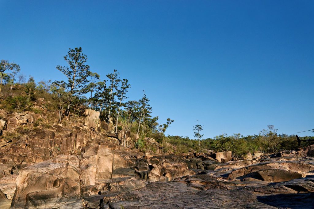
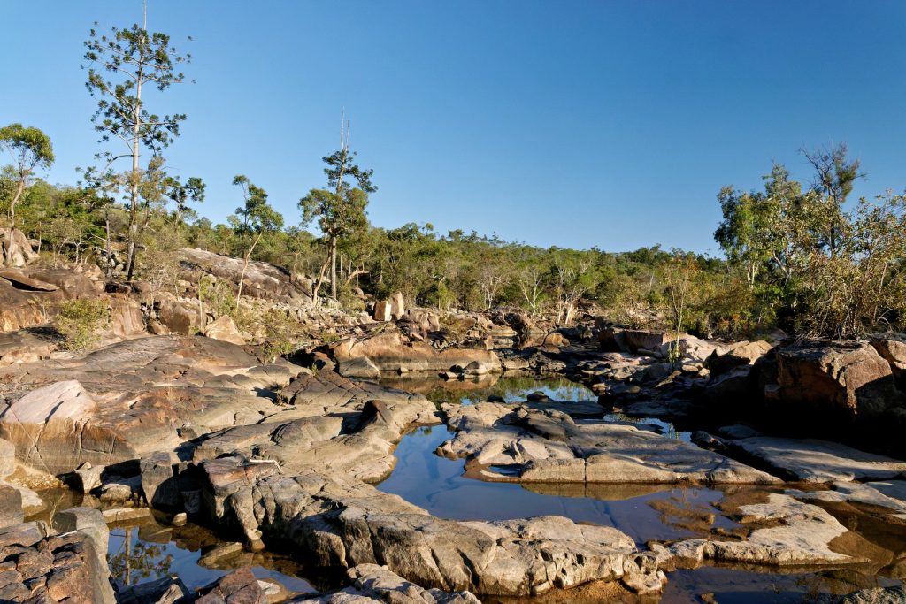
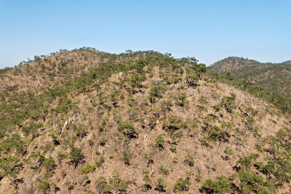
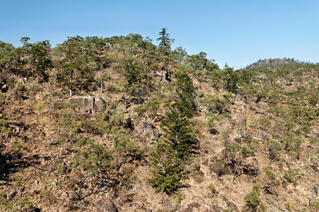
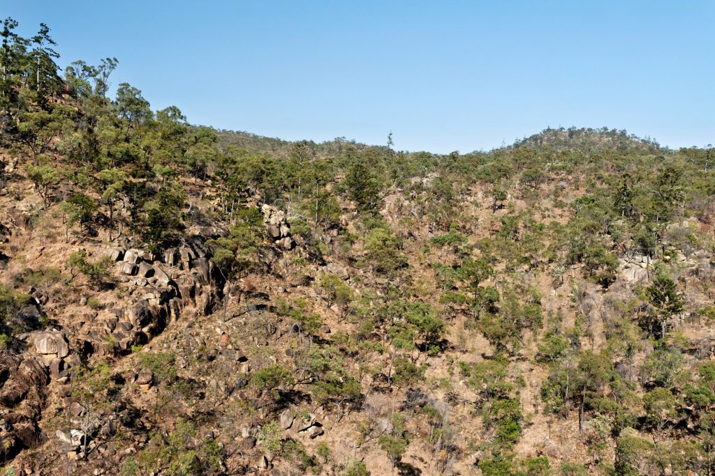
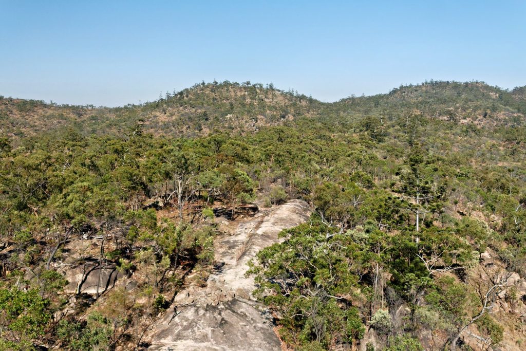
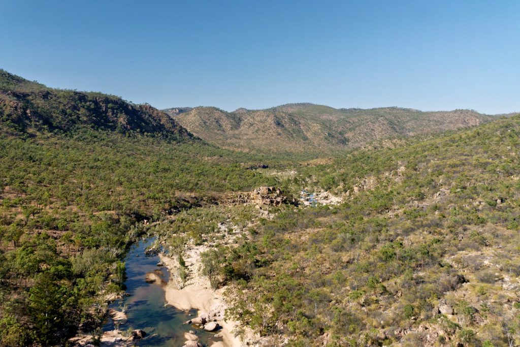
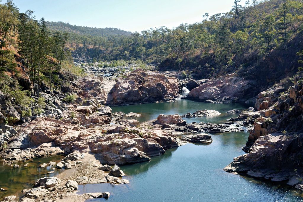
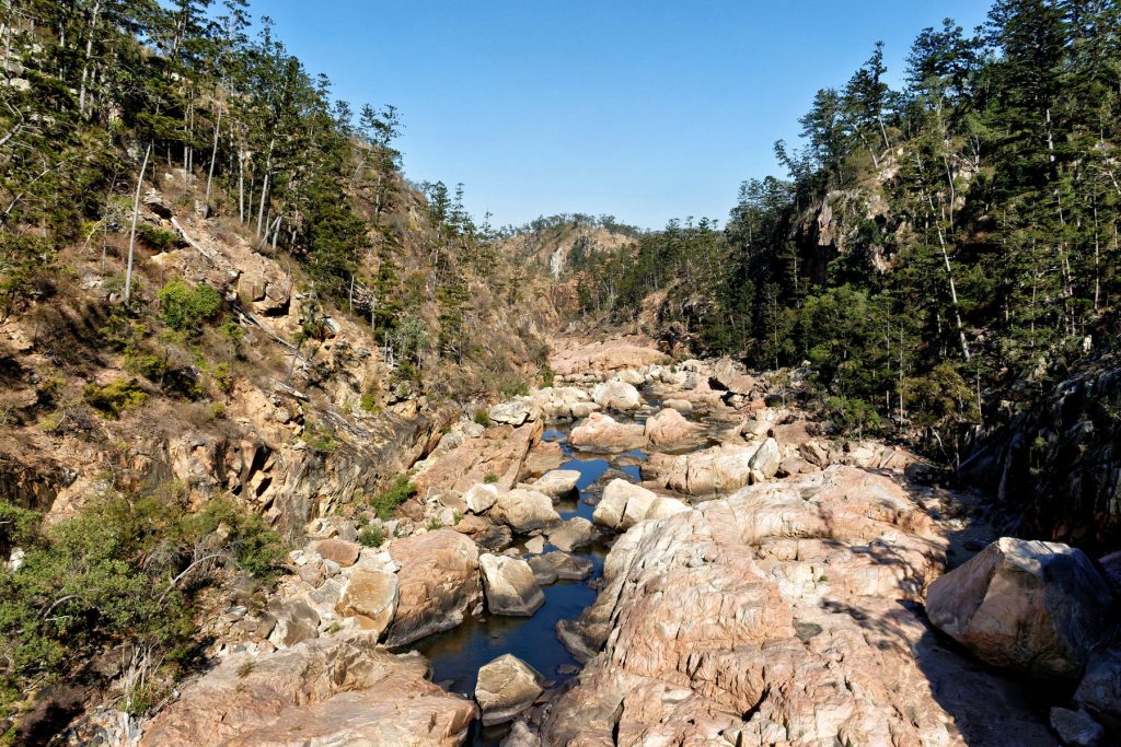
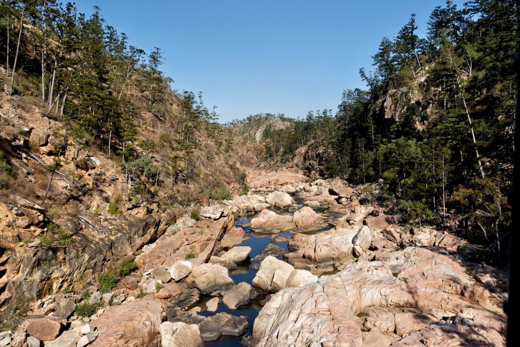
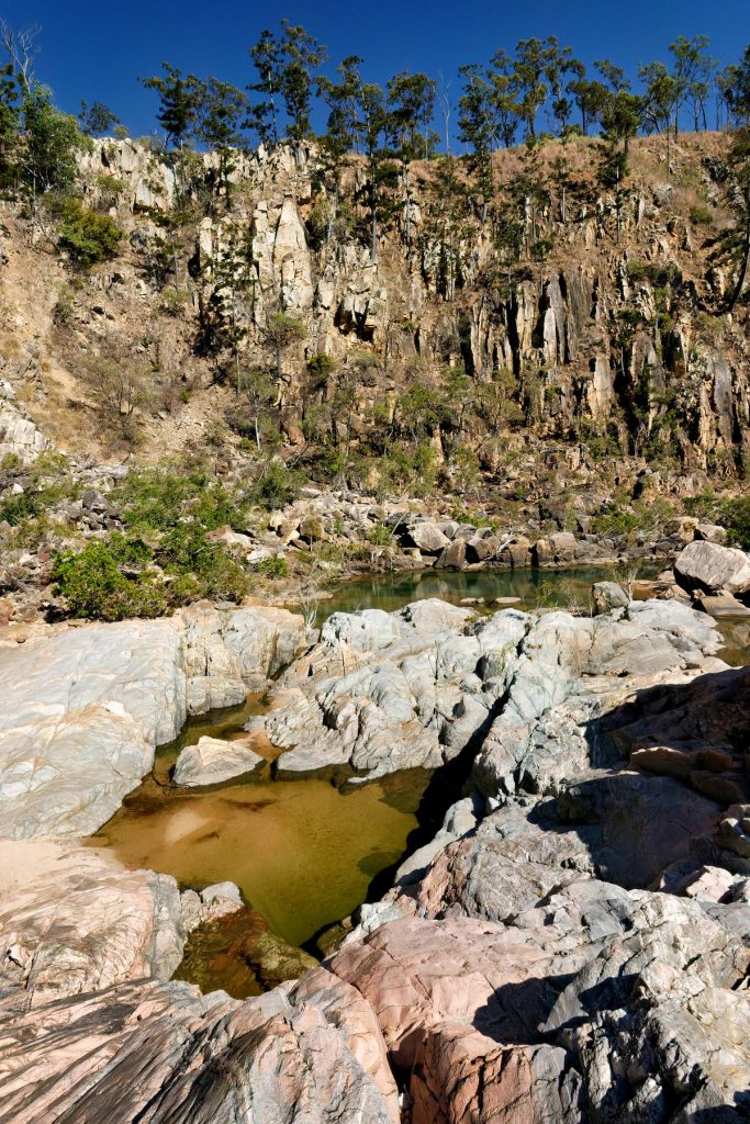
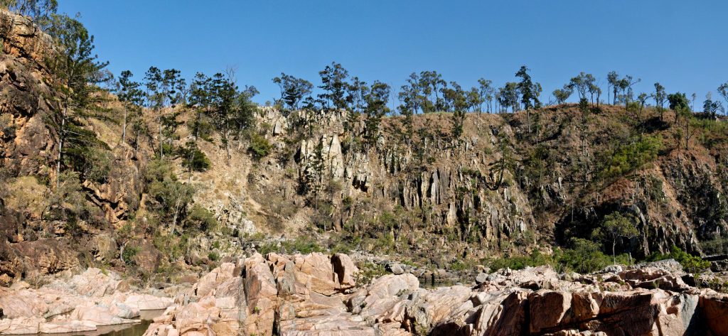
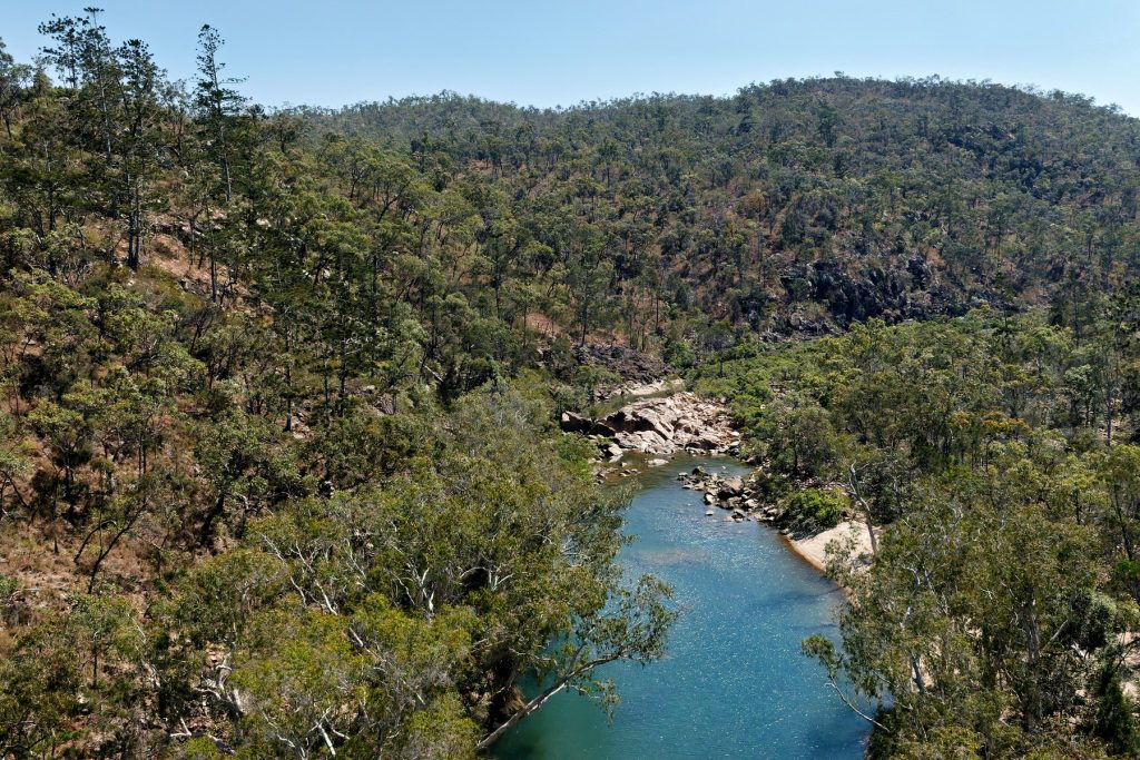
Rosie’s Pool
Breakfast at the basecamp and then a helicopter ride over the Sanctuary to Rosie’s Pool for morning tea. Back to Basecamp for lunch and a shower. I think we then had some free time to explore.
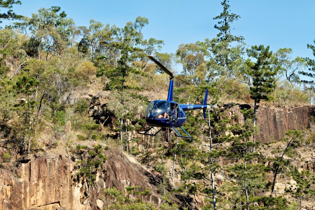
Bluff Breakfast
Then a Bluff Breakfast early the next morning, which has actually located on the adjoining Glenroy Station. Did The Doc mention we were flown up via helicopter?
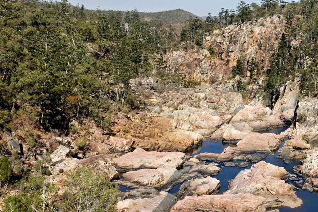
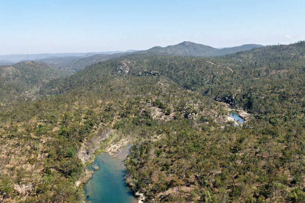
Canoes
Later that day we went back to the Sir John Gorge and the Fitzroy River for canoeing.

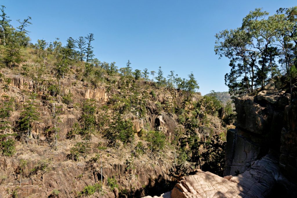
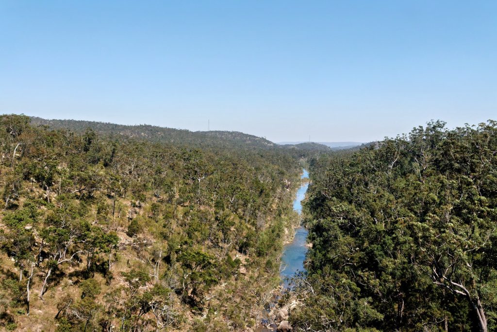
Sunset dinner overlooking Fitzroy Bluff
At sunset we had dinner overlooking Fitzroy Bluff. What an amazing day!

Back to Broome
Finally, back to Broome via a Charter Flight over adjoining cattle stations and out across the mudflats and ocean.

Viva Cristo Rey.

AWC’s Mornington – Revisited – Part 1

The Doc reprocessed some images from his first visit to AWC’s Mornington Sanctuary in 2014. It was a Supporter’s Event and it was the second Sanctuary he ever visited. The first was Scotia.

All the buildings were destroyed in massive floods in 2023. The buildings appear in Part 2.

Viva Cristo Rey.

Cape York – Day 2 – Revisited

This morning we leave Haggerstone Island, then see downed aircraft, crocs up and close, Captain Billy Goat Waterfall and finally we land near a WW2 wreck of a P39 Aircobra which crashed on its way to Papua New Guinea.  Flying up the coast we see bauxite deposits, sands, rivers and finally hover over the tip of Australia. Then an aerial trip around the Torres Strait, we did not land as you can wait for hours before customs turn up (they work on Island time). Last stop Punsand Bay Campgrounds to stay.

Day 2 was as stunning as Day 1 – Revisited here.

Click on an image to a slideshow. Enjoy. Viva Cristo Rey.

Morning

Northern Cape York – eastern side

The Tip and Torres Strait

Punsand Bay after sunset

Cape York – Day 1 – Revisited

Leaving from Port Douglas and ending on Haggerstone Island. The original Cape York images and reports are here.

Enjoy. Viva Cristo Rey.

Arkaroola Revised – Part 2 – aerial

Part 1 is here, with much of the commentary.

In Part 2 the images are from the surrounding Flinders Ranges, rather than Lake Froome. You get to see the extraordinary variety of rock formations of different colours and textures.

On average the images were taken from 270 to 380 metres in the air. The GPS Datalogger also gives you altitude.

 Enjoy, Viva Cristo Rey. Click on an image to see the slideshow of images at full resolution.

Arkaroola Revisited – Part 1 – aerial


When Tony Stott and The Doc went on an adventure to the Flinders Ranges we visited Arkaroola Wilderness Sanctuary. One of the owners Doug Sprigg, loves to fly so we went on a flight over Lake Froome and the Flinders Ranges.

The Flinders Ranges is one of the most geologically unique places in the world. Geologists from all around the globe visit. There is an extraordinary variety of rocks twisted and bent by tectonic forces under the earth. For example, while driving in Brachina Gorge you drove over something like 700 million years of rock layers, that have been bent from the horizontal to the vertical.

One of The Doc’s favorite places to visit. Further south you have Wilpena Pound. Now back to the flight.

Tony had one camera (a Canon 5DII) and The Doc two (Canon 1DX and a Pentax 645Z), We sat on opposite sides of the plane to maximize our opportunities. When processing the images it became clear Tony often had the better side, as The Doc was often photographing into the sun. Together we got a nice mix of images.

Part 1 is below with the flight going out over Lake Froome. Lucky for us the Lake had some water still giving us extraordinary colours and textures. Lake Froome is apparently the whitest salt lake in the world and used by NASA to take various measurements.

Enjoy, Viva Cristo Rey.


Lorella Springs Station revisited – Part 2

Part 1 is located here.

Part 2 are images from a Pentax Medium Format camera, were the number of missed shots were lower on this camera than the Canon posted yesterday in Part 1. Every other time it was the reverse.

The Gulf of Carpentaria is an under explored part of Australia. Only this week AWC announced a new species of legless lizard, Lerista munuwajarlu, has been officially accepted after 10 years of the research.

Click on an image to see a slideshow at full size. Viva Cristo Rey.

Mount Zero Taravale

In 2019 The Doc went on an AWC Supporter’s Event to Mt Zero Taravale out of Townville. Supporters arrived in that fancy red helicopter, flown out of Townville Airport, known as Garbutt Airfield in WW2.

He had previously driven up the entrance of the Sanctuary.

The Doc forgot to write up a report, so he only has some pictures. Better late than never. One day he may find the notes from the visit.

The Doc does remember meeting and speaking to AWC legend Peter Stanton at the event and later sending him some AWC slides The Doc had scanned of Peter at MZT, in the very early days of AWC ownership.

Viva Cristo Rey.

The first visit was to the entrance of the MZT, in a car. The road up was a bit narrow driving the Nissan Patrol and it was a long way down. That road was narrow and had blind corners everywhere.

The road down was not as bad when The Doc left the Supporter’s Event and someone else was driving!

The Bungle Bungles from the ground

The Doc is reprocessing images from the Bungle Bungles in Purnululu (Per-na-lew-lew) National Park in Western Australia, the original images were posted here. First up it is the reprocessed ground images, with the aerial images to follow.

Images are from Gorge Road, Spring Creek Track and Piccaninnny Creek. Viva Cristo Rey.

Sunrise and sunset images below.

One night at camp The Doc thought he was being watched, he turned on the torch to see a Tawny Frogmouth 2.5 metres away. They are silent on the wing and The Doc never heard it fly in and land, nor do their prey.

Plus a bonus image from Panikin Lookout, Lake Argyle Road, Lake Argyle (the last image).

Amazing Pilbara images P&S – Part 2

Part 2 of the Point & Shoot images from places like Munjina Lookout Road, Albert Tognolini Lookout, Karajini NP Visitor Centre, Warlu Way, Kalamina Gorge Trail, Hamersley Gorge Road, the Roebourne – Wittenoom Road at Chichester, Deep Reach Picnic Area on the Barrimirndi Trail,  Panorama Lookout at Roebourne, Python Pool Trail at Millstream, Miliyanha Campground at Kanjenjie, Snappy Gum Drive and the Tom Price-Karratha Road. Lots of panoramas this time around.

How does The Doc know these names years later? All his images have GPS co-ordinates put into them, plus he adds keywords. However another source is using those GPS co-ordinates to Reverse GeoCode the images, this process puts location data into the photo. The Doc just copied some of that information from the images into the blog post.

Viva Cristo Rey.