The Doc reprocessed some images from his Northern Territory trip, since he cannot travel due to treatment. This time the Devils Marbles south of Tennant Creek. A few image this time. Click on any image to see the slideshow, enjoy.
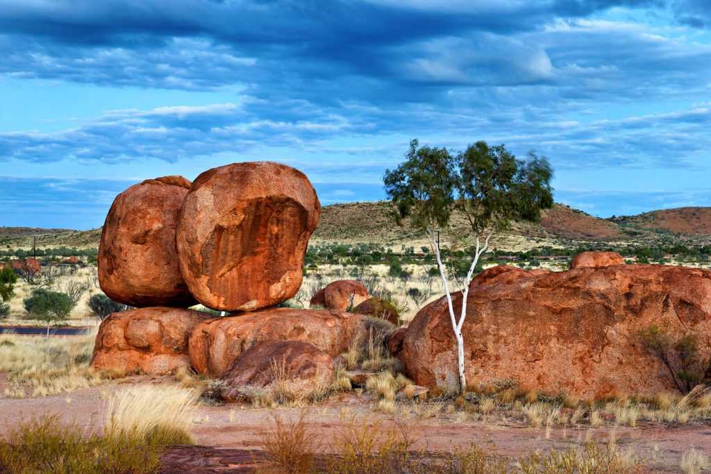
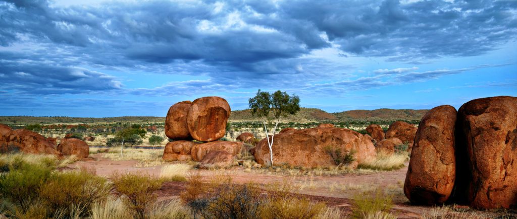

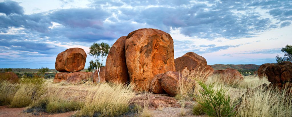
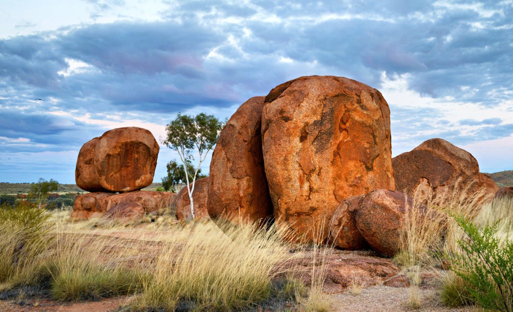


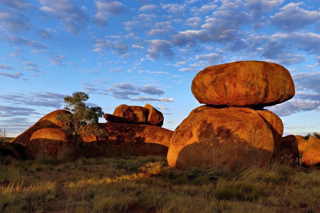
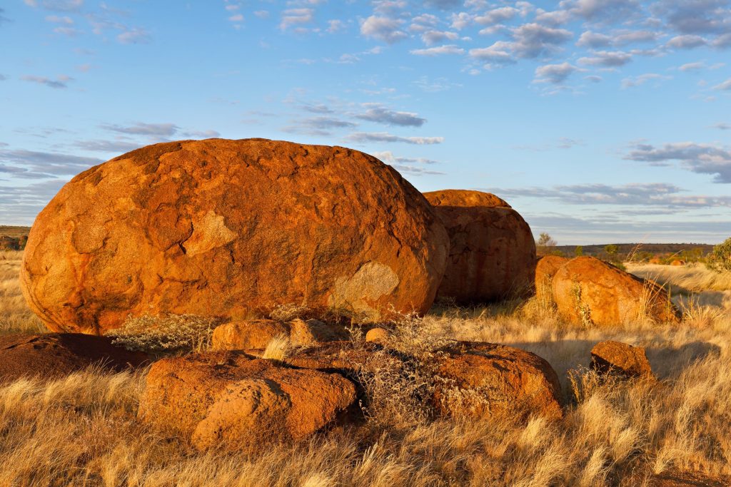
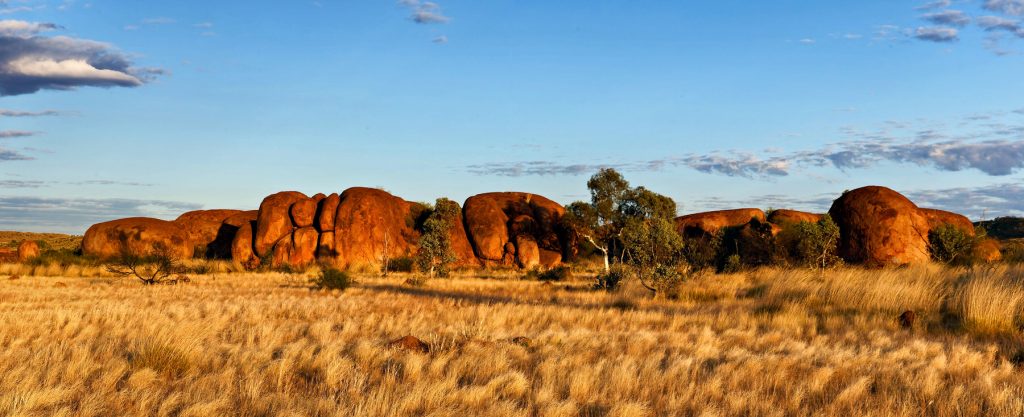
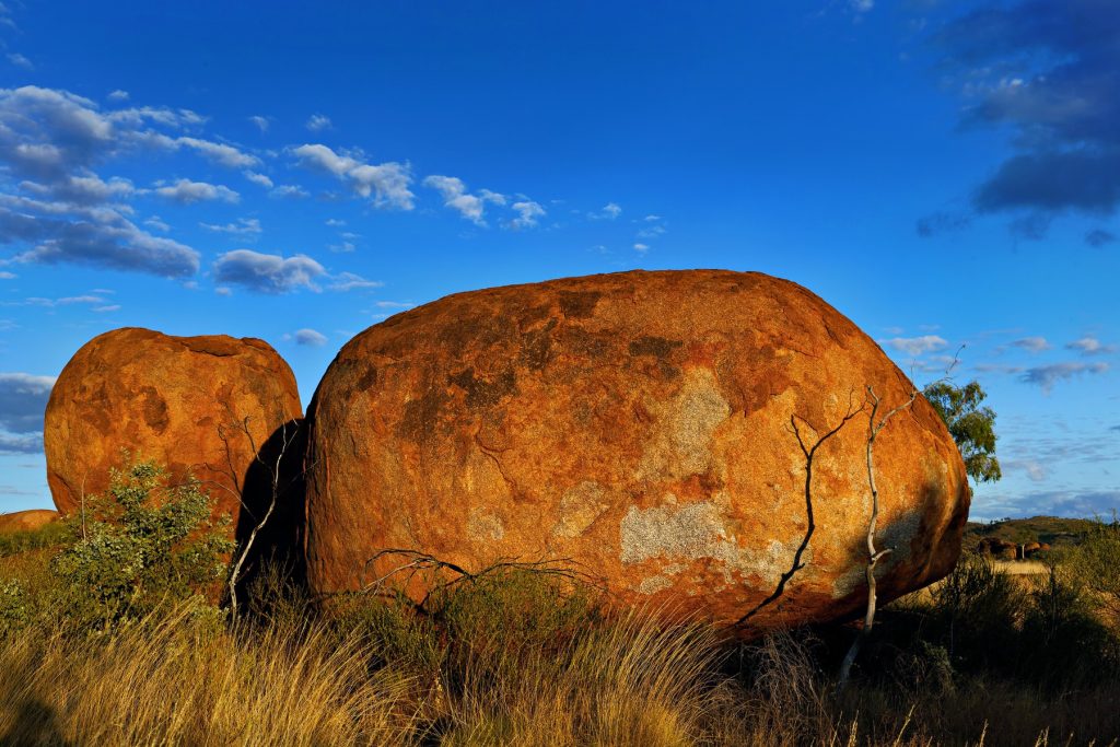
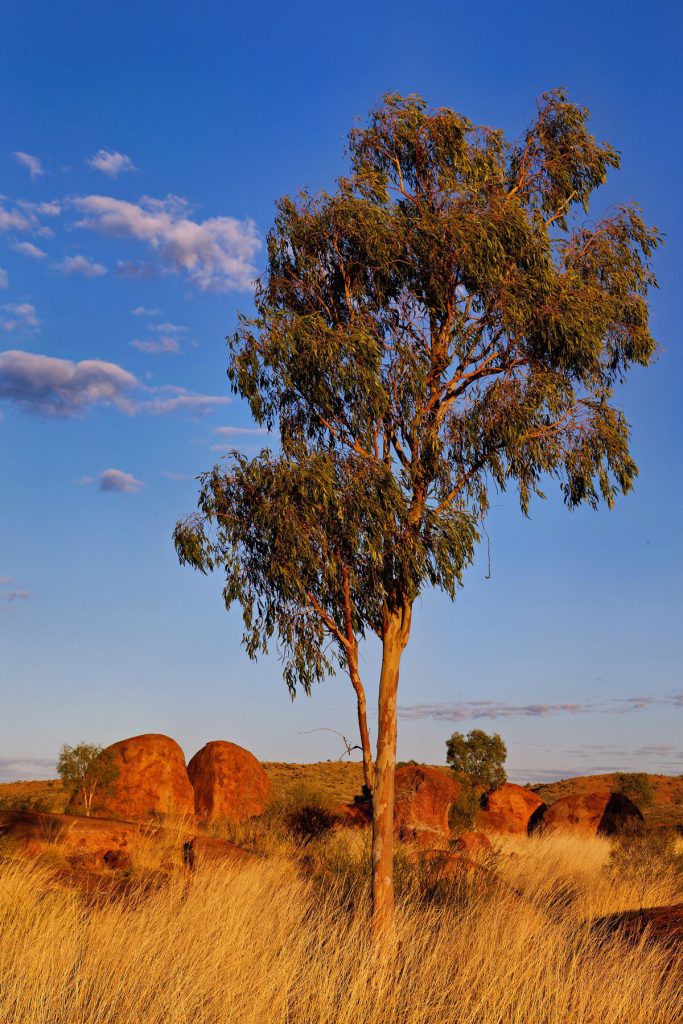
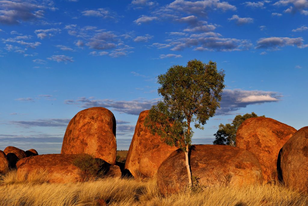


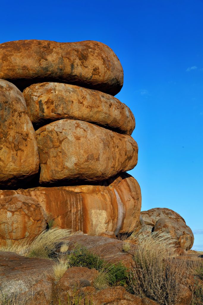


The Doc reprocessed some images from his Northern Territory trip, since he cannot travel due to treatment. This time the Devils Marbles south of Tennant Creek. A few image this time. Click on any image to see the slideshow, enjoy.


At the recent AWC Supporter Event at Bullo River Station we had small groups doing guided tours along the Bullo River, with a cold breakfast supplied (fresh fruit, quiche, yogurt, nuts, freshly squeezed OJ and muffins).
A few images are below. Click on an image to see a slideshow at full size. Enjoy the beauty of God’s creation.
The Doc is still writing the longer Bullo report.


The massive tidal changes in King Sound reveals extensive mud flats across the southern part of the Sound, around Derby.
Derby township itself is surrounded by mud flats which The Doc drove on several times (being careful not to break through the dried surface). These mud flats are not fully tidal every day, probably only on King tides. However, anytime The Doc felt the surface get soft he headed back to drier parts.
After taking off, in the helicopter, the first place we see is the big house, the Derby Prison. The Prison inmates look after the graves at the nearby Leper Colony, aka the old Bungarun Leprosarium, just north of Derby (Blog report here). The Doc drove up to Bungarun using the mud flats, not the road.
The mud flats reveal one of nature’s fractals, the repeating patterns you see when water is draining away on the mud flats (what The Doc calls the recurring tree pattern). To be precise “Fractals are infinitely complex patterns that are self-similar across different scales.” If you look carefully, you will see the same pattern repeating itself. Admittedly it is more obvious in the helicopter where you better appreciate the scale of these fractals.
There is endless variety in the mud flats, including their shapes, colour and textures. While they are many images, the total was culled hard to give a good cross section.
The Doc finds the mud flats fascinating. Enjoy.


Below is a satellite image of Derby, King Sound (that great big “harbour”) and on its northern edge a group of Islands known as the Buccaneer Archipelago. The Derby mud flats are obvious on the southern edge of King Sound, near the Derby township. Towards the top right is the Walcott Inlet, which leads into Charnley River and its gorge, yesterdays spectacular post.

The helicopter trip continues. Here is small selection of images from the Buccaneer Archipelago. Wikipedia states “The archipelago, covering over 50 square kilometres (19 sq mi) is located at the head of King Sound and is composed of about 800 islands found between King Sound and Collier Bay near Yampi Sound.”
Yampi Sound also has a major Army training base inland from the Sound itself. The images towards the middle with a burn off taking place, from memory, is part of Yampi training grounds. Often Yampi is boring open grasslands. The Australian Wildlife Conservancy helps the Army conserve part of the training grounds set aside for conservation along the coast.
The massive tidal flows are obvious in several images, with the disturbed water during a tidal change.
To see a larger image click on a thumbnail.


When posting some Kimberley images recently The Doc realised he has not posted images from his 2-day helicopter trip out of Derby in 2015 (better late than never!) – except 2 or 3 images.
Starting with Day 2, here are images from flying along the Charnley River Gorge, Artesian Range, The Kimberley, Western Australia. It was a thrill of a lifetime, breathtakingly beautiful place. We had permission from Australian Wildlife Conservancy to do the trip over their property and land. With both the pilot and the passenger being AWC supporters helps!
The Artesian Range is the only part of Australia that has not suffered any mammal extinctions since European settlement, but the cane toads got into the area in the last few years. So that may change.
Where the river bed is a muddy light grey, the river is tidal. The clearer water is beyond the tidal zone and is fresh water coming down the river.
We landed and took pictures of Aboriginal art, which had some very rare figures. The Doc may post one or two later.
Make sure you click on the image to see the full size slide show.


At the beginning of the Eromanga trip The Doc drove from Ballina to his mate’s place at Stanthorpe. He stayed two nights and got to ride in Tony’s Ford 350 – wow what a great tow vehicle!
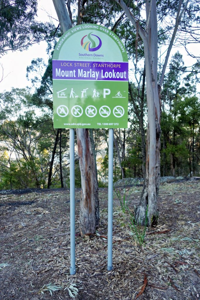
The next morning The Doc was just touring around Stanthorpe and found the Mt Marlay Lookout. Just a few images from the Lookout. Click on that first panorama, because at full size it has amazing details.
The Doc really liked Stanthorpe and for the first time since switching to part time work, thought about moving out of Sydney.
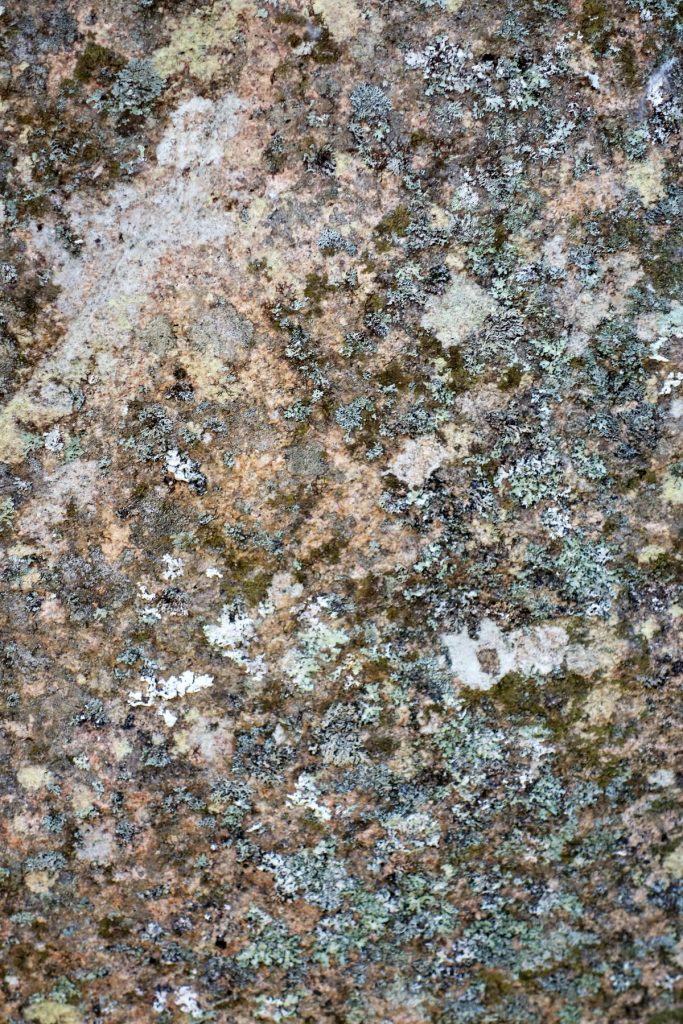
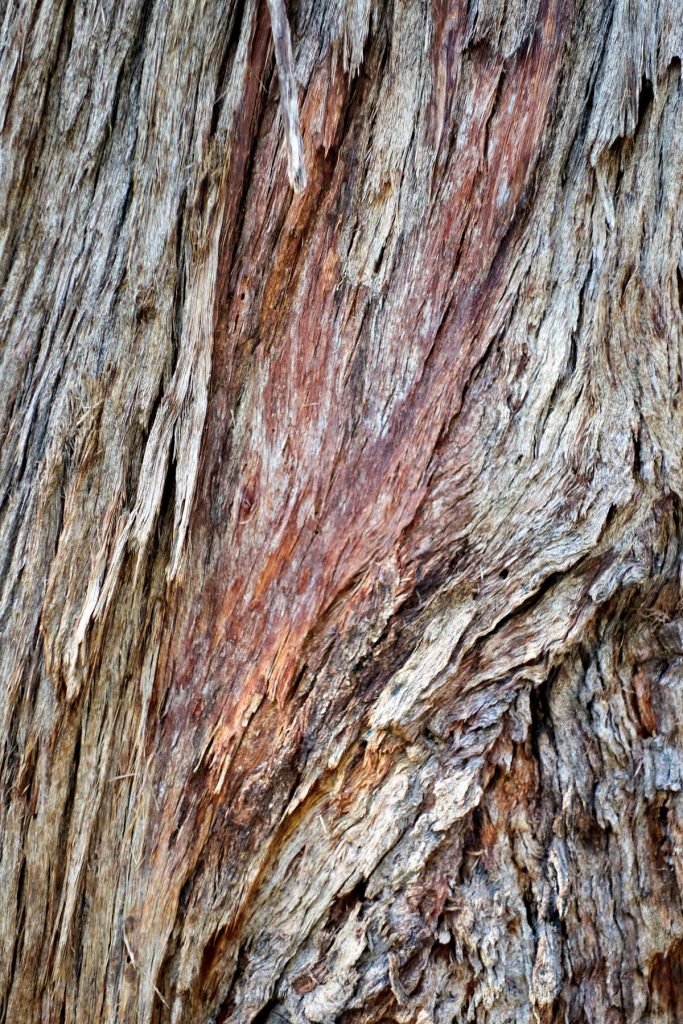
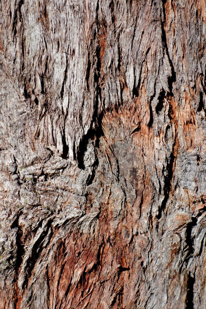
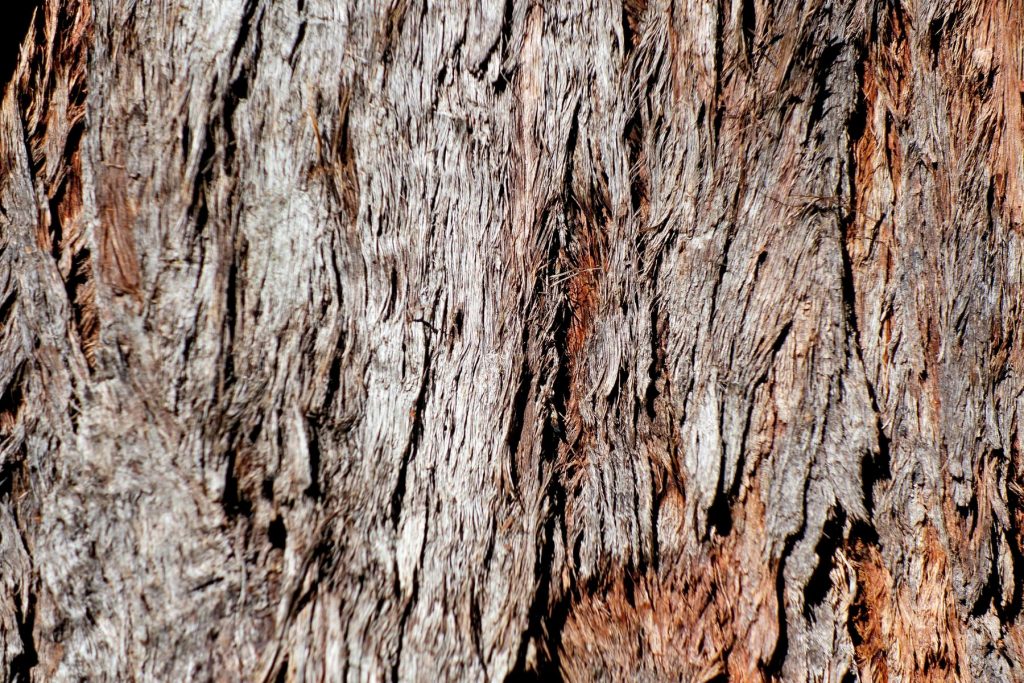
We had lunch at the Jam Factory and later that day Tony took The Doc to Donnellys Castle Recreations Reserve. Plus a few textures from the reserve.
Tony made a great choice to live in Stanthorpe, part of the Granite Belt. The Doc will be back.
Interactive map from Ballina to Eromanga here. Enjoy.






The Doc’s friend Steve Young got special permission to visit Buckaroola Station. These images are from the second visit, as The Doc forgot to put his memory card into his camera during the first visit! Buckaroola Station is westward out of Eromanga along the Cooper Developmental Road and is not open to the public.


Also known as Prickly Wattle. Images from two locations, first Peglers Pond about 7km east of Eromanga; second some dams west of Eromanga, beside the Cooper Developmental Road. Click on image to see full size.


The Doc’s main theme for images in 2022 was barks and then flowers as Spring arrived. Over 6,000 images were posted to the Atlas of Living Australia in 2022. Consulting work prevented any travel, even after many of the lock downs stopped.
The first trip for 2023 is booked, Foray with Friends at Dorrigo on the mid north Coast of NSW. The theme will be fungi’s and slime molds. There is some consulting work to finish at the end of January then The Doc has more flexibility, once the final work on the Patrol is finished in mid-January.


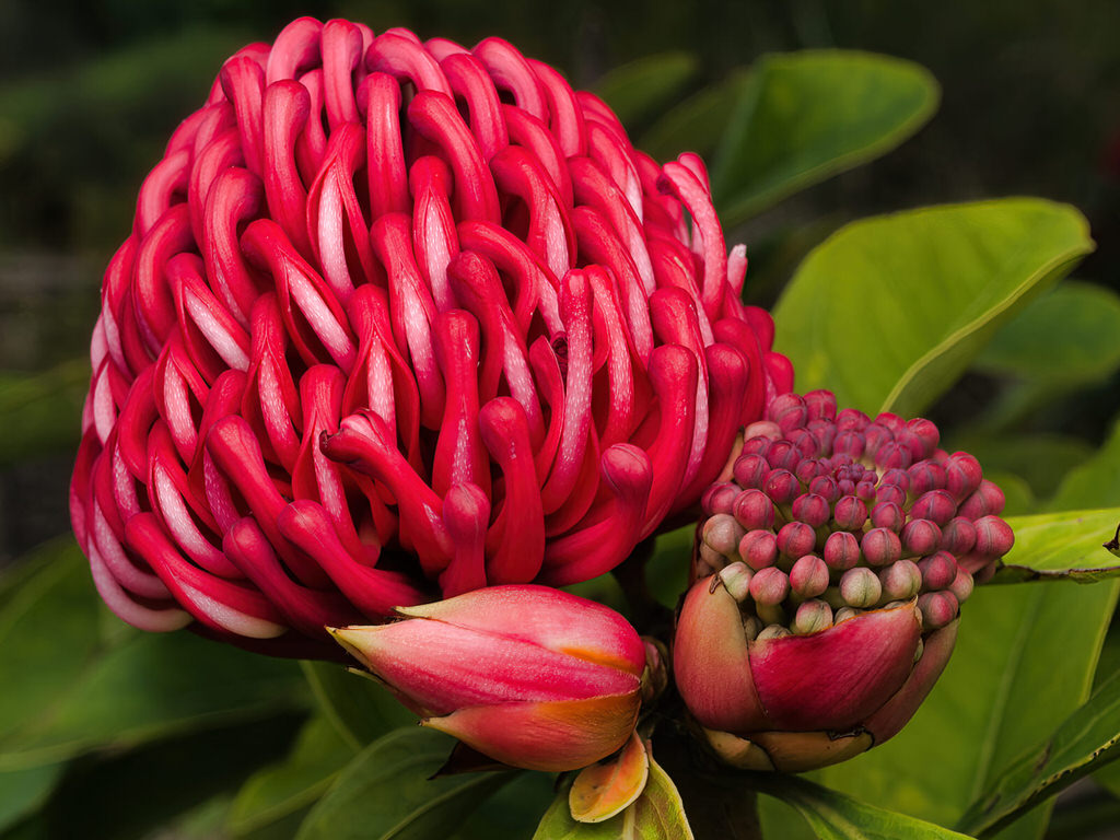


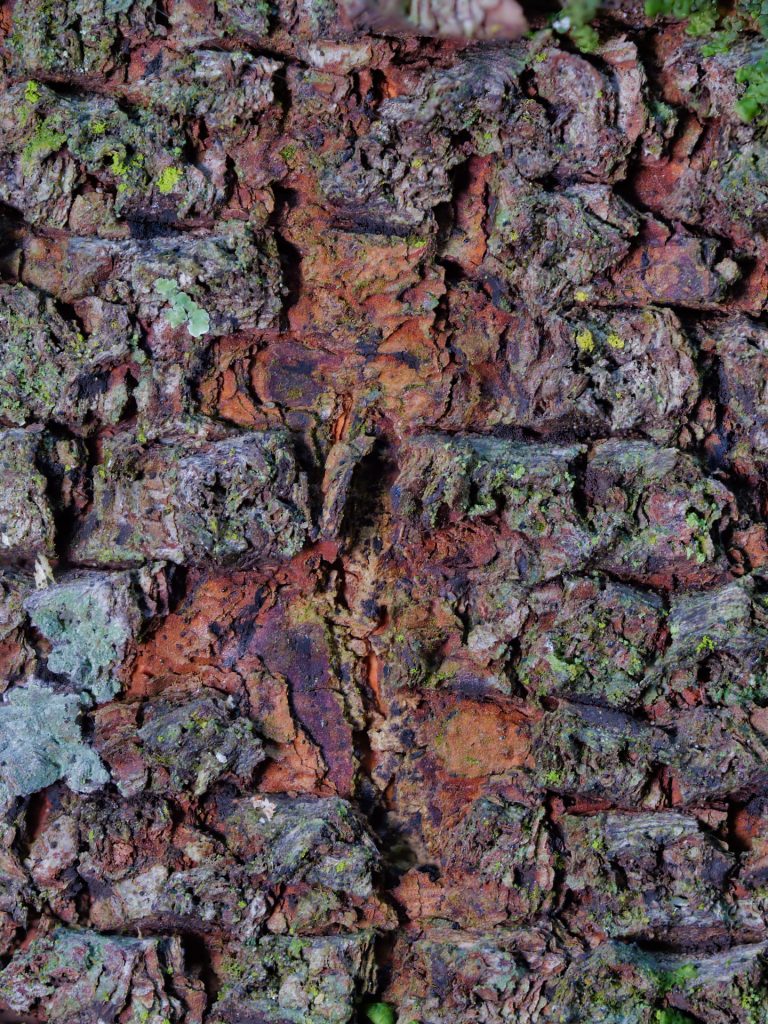

Shady Lady Red and Shady Lady White.


You must be logged in to post a comment.